SoDo, the part most people visit
SoDo takes its name from its position just south of downtown. This northwest slice holds the two big stadiums, so it is the corner of the district most residents and visitors actually spend time in. Lumen Field stands on the site where the Kingdome once was.
Browse our guide to Seattle neighborhoods to see how SoDo connects with Pioneer Square, Georgetown and the areas around it.
Getting Around the Streets
This is a district built for trucks and freight, so knowing the main roads helps. First and Fourth Avenues S, Alaskan Way, East Marginal Way and Airport Way S carry north and south traffic. S Spokane Street, the Spokane Street Viaduct, the West Seattle Bridge and S Royal Brougham Way handle east and west movement.
Royal Brougham, the street most fans use near the stadiums, was once called S Atlantic Street. Smaller connectors include 6th Avenue S, S Holgate Street, S Lander Street and S Industrial Way.
A Long History on the Duwamish
People lived along this shoreline for many centuries before any warehouses arrived. Near what was then the mouth of the Duwamish River, villages known as tohl-AHL-too, meaning herring house, and later hah-AH-poos, meaning where there are horse clams, were occupied from the 6th century CE.
The Duwamish people, part of the Lushootseed-speaking Coast Salish nations, lived in at least 17 villages across the region in the mid-1850s. Their roughly 93 permanent longhouses lined Elliott Bay, Lake Washington, the Duwamish River and other waters.
From mudflats to fill
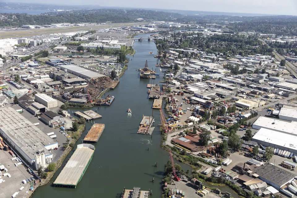
Much of today's district was once tidal mudflats and lowland in the Duwamish estuary. Between 1902 and 1907 the area was dredged, the river straightened, and the flats filled in. That fill is prone to liquefaction, which leaves buildings here especially vulnerable in an earthquake.
Early industry and big names
The Seattle Box Company moved to 4th Avenue S and S Spokane Street in 1905, making it one of the district's earliest businesses. Starbucks brought its world headquarters here in 1997, moving into a 1912 building first built as a Sears, Roebuck and Company catalog distribution center. Uwajimaya, the Asian grocery company, also keeps its headquarters in the district.
For more historic sites around the city, see our Seattle landmarks guide.
Parks and Open Space
Green space is limited in a zone built for industry. City of Seattle records place Don Armeni Park in this area. Check Seattle Parks and Recreation for current amenities and hours before you go, and explore more options in our Seattle parks guide.
A Neighborhood Still Being Debated
The district's future is an open question. Some industrial business owners worry about what lies ahead, while some city developers see the area as a natural place to add offices, shops and housing south of downtown. That tension shapes much of the conversation about where Seattle grows next.
Planning a game day or a wider trip? Pair a visit with ideas from our list of things to do in Seattle.