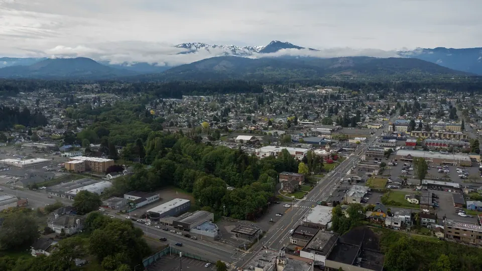
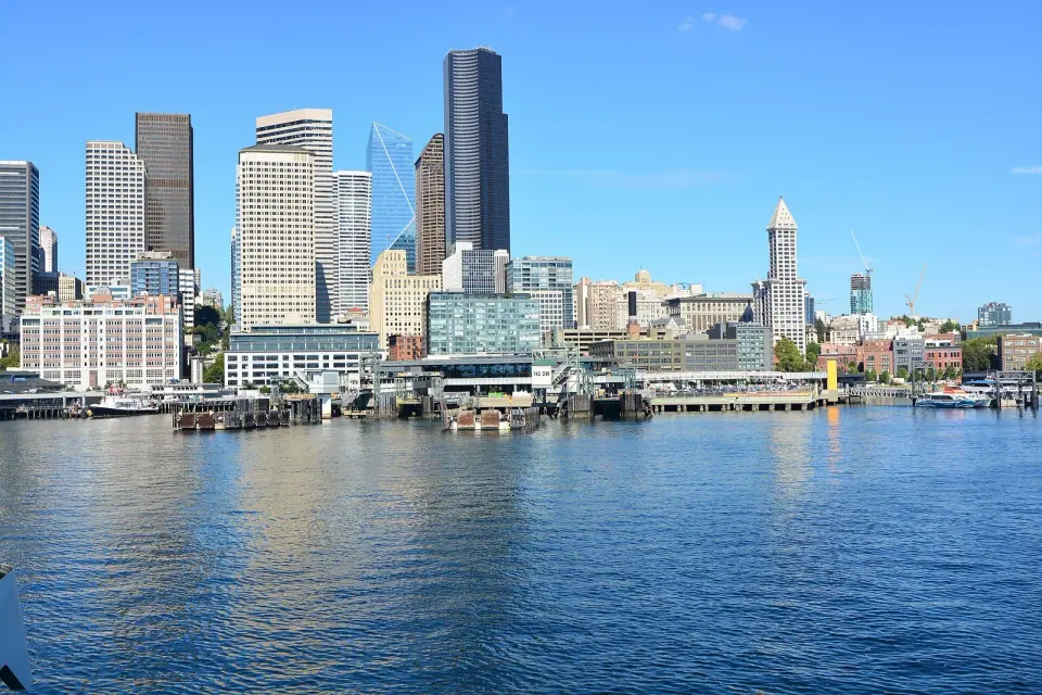
Port Angeles, WA is the main gateway to Olympic National Park, a harbor city on the Strait of Juan de Fuca where you can drive 17 miles up to Hurricane Ridge in the morning, walk the waterfront trail in the afternoon and catch the Coho ferry to Victoria, BC, the next day. Plan on at least one night, because getting there from Seattle means a ferry crossing followed by a drive or bus ride across the Olympic Peninsula.
With about 20,000 residents, Port Angeles is the most populous city on the Olympic Peninsula and the seat of Clallam County; it was incorporated in 1890, and Olympic National Park is headquartered here, according to the city's history. Its deep harbor is sheltered by Ediz Hook, a long, narrow glacial moraine that reaches nearly three miles into the strait, and because the city lies in the rain shadow of the Olympic Mountains it gets only about 25 inches of rain a year, well below Seattle's total.
Things to do in Port Angeles, WA
Olympic National Park Visitor Center
Begin at the Olympic National Park Visitor Center at 3002 Mount Angeles Road, which also houses the Wilderness Information Center that issues backpacking permits for the whole park. Coming into town westbound on US 101, turn left on Race Street at the large brown Hurricane Ridge sign and drive about a mile. Our Olympic National Park guide covers the rest of the park, from the coast to the rainforest valleys.
Hurricane Ridge
Drive Hurricane Ridge Road 17 miles south of town to Hurricane Ridge, the most easily reached mountain area in the park, where scenic pullouts along the way look out over mountains, forests and the Strait of Juan de Fuca. The road climbs to 5,242 feet, passing the Heart O' the Hills entrance station and campground about five miles up. It is open throughout summer; in winter it is scheduled to open Friday through Sunday and holiday Mondays when weather allows, and every vehicle must carry tire chains, so call 360-565-3131 for the road status first. The Hurricane Ridge Day Lodge was destroyed by fire, and in summer Clallam Transit runs a special bus route between downtown Port Angeles and the ridge. Spring brings wildflowers to the subalpine meadows and summer brings hikers, while in winter, weather permitting, visitors come to snowshoe, cross-country ski and sled.
The Port Angeles waterfront
Walk the Port Angeles waterfront on the Waterfront Trail, the in-town stretch of the Olympic Discovery Trail, which meets the water at City Pier at the foot of Lincoln Street. The trail is paved and flat for several miles in both directions, there is parking and restrooms at the pier, and downtown shops and restaurants are close by. Heading east, the path runs about 4 miles along the beach to a long trestle over Morse Creek, which makes an easy bike ride; the full trail links the Victorian seaport of Port Townsend with the Pacific coast.
Ferry to Victoria, BC
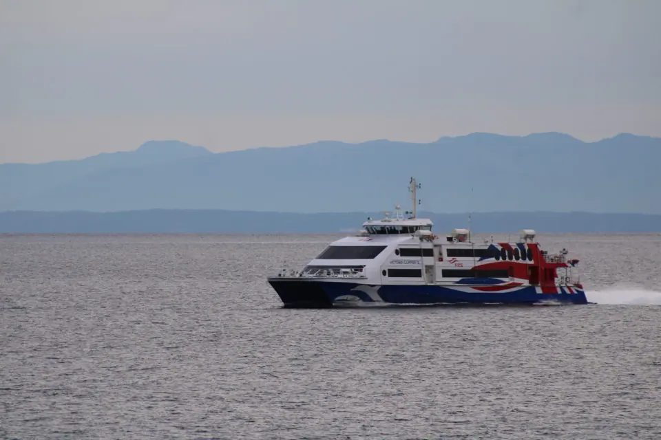
Cross the strait on Black Ball Ferry Line's Coho, which leaves from 101 East Railroad Avenue on the Port Angeles waterfront and arrives at 430 Belleville Street in Victoria after a 90-minute, roughly 23-nautical-mile crossing. Drivers must be at the Port Angeles terminal 60 minutes before departure and walk-on passengers 30 minutes before, and because you are crossing an international border, bring your passport or other accepted travel documents. Our Seattle to Victoria guide compares this route with the other ways to reach Victoria.