Delridge follows the Longfellow Creek valley through southwest Seattle. Start at Delridge Playfield and fan out to its parks, gardens, libraries, Saturday market and steel town history.
Generally, yes. Delridge is usually associated with West Seattle, and some people consider it a sub-district of it.
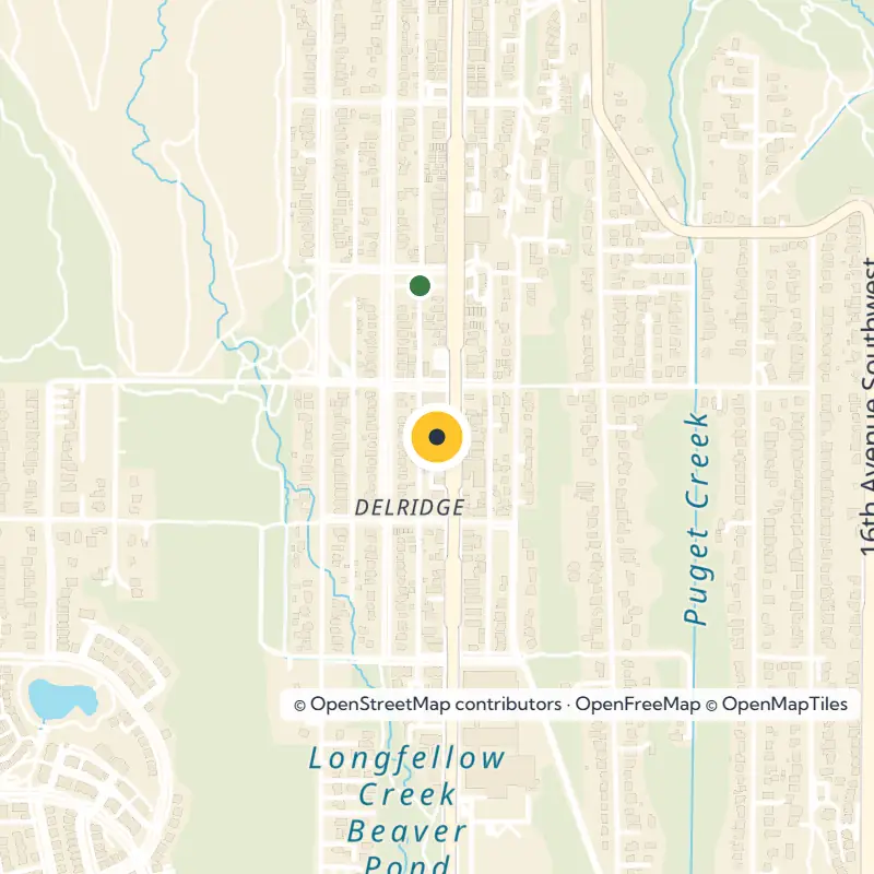
Delridge follows the Longfellow Creek valley in southwest Seattle along Delridge Way. It runs from near the southern city limits north to the West Seattle Bridge over the Duwamish River.
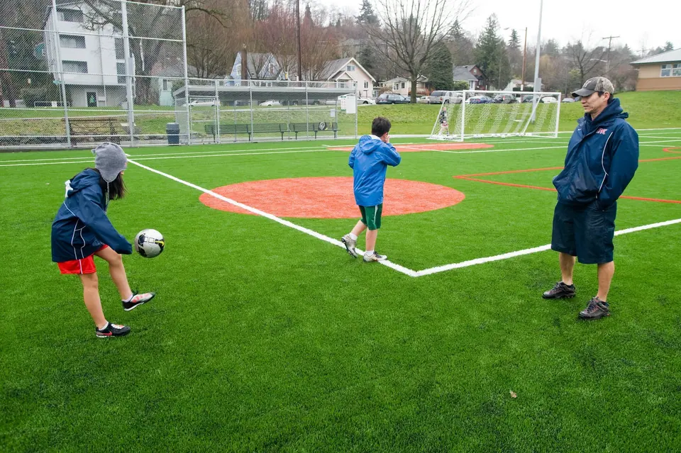
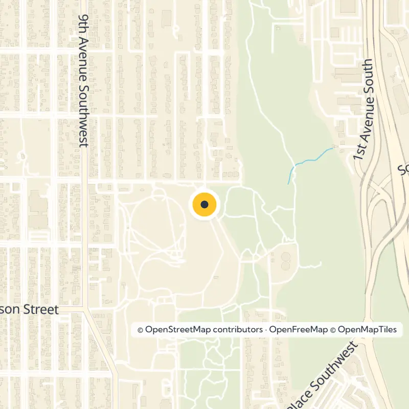
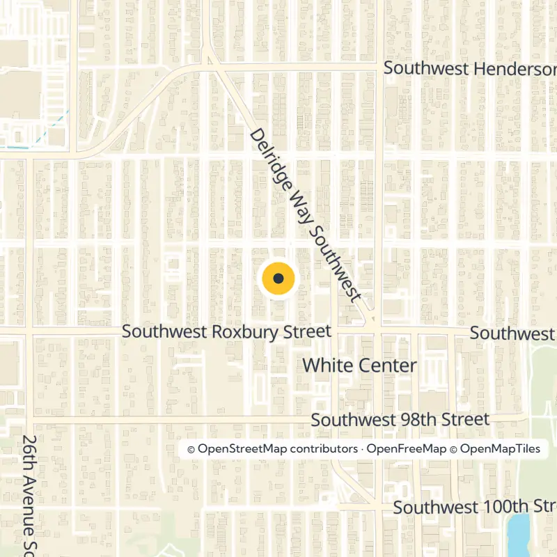
Delridge Playfield is a city park on Delridge Way SW in North Delridge. Several other parks and greenbelts are within half a mile.
It runs on Saturdays in season at 9421 18th Ave SW, from 10 am to 2 pm. Check with the market for the current year's dates and hours.
Yes. Westcrest Park in Highland Park has an off-leash dog area and sits next to the West Seattle Reservoir.
About Delridge
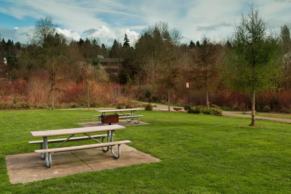
Creekside parks, community gardens and wooded greenbelts fill the Longfellow Creek valley in southwest Seattle, where homes share the slopes with plenty of open space. Begin at Delridge Playfield, a city park on Delridge Way SW in North Delridge with several other parks and greenbelts within half a mile. It makes an easy base for exploring the Delridge neighborhood, which also offers three library branches and a seasonal Saturday market.
Where Delridge Sits, and Is It West Seattle?
Delridge borrows its name from Delridge Way, the main road that traces the eastern slope of the Longfellow Creek valley. Follow it from near the creek's source at the southern city limits all the way north to the West Seattle Bridge over the Duwamish River.
Most people count Delridge as part of West Seattle, and some call it a sub-district of it. The City of Seattle also applies the name loosely to a cluster of nearby neighborhoods, an area that roughly reaches the Duwamish River on the north and east, White Center on the south, and 35th Avenue SW on the west.
Read the full Delridge guideShow less
Inside those edges lie Pigeon Point, Youngstown, Puget Ridge, Riverview, High Point, Highland Park, Westwood and Roxhill. You will spot newer labels like North Delridge and South Delridge on maps and real estate listings, though longtime residents still tend to reach for the older neighborhood names.
Start at Delridge Playfield and the Green Space Around It
Make Delridge Playfield your first stop for exploring the valley on foot. So many parks and greenbelts sit within half a mile that you can string several of them together into a single afternoon walk.
Camp Long, the Golf Course and the Stadium
Head just uphill to the west, where 35th Avenue SW gathers a cluster of city green space in the middle of the West Seattle peninsula. Camp Long anchors it all, a city park at 5200 35th Ave SW.
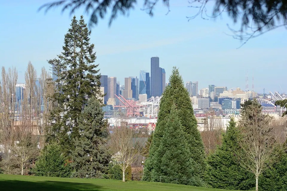
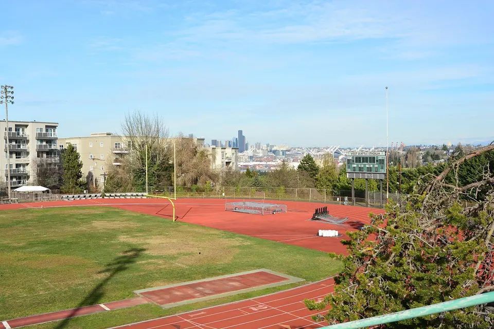
Right beside it are the city-run West Seattle Golf Course and West Seattle Stadium, a Seattle Parks and Recreation property. Keep wandering and you will find a viewpoint, playfields and community gardens, all within half a mile of Camp Long.
Pigeon Point and the West Duwamish Greenbelt
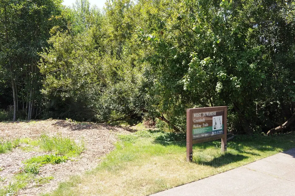
Climb to Pigeon Point, perched on a high bluff just south of the West Seattle Bridge at the south end of Elliott Bay. Pigeon Point Park sits right beside the West Duwamish Greenbelt, a long wooded stretch along the river's west bank, and the neighborhood is also home to Pathfinder K-8 at Cooper.
Riverview Playfield for Sports
Come to Riverview Playfield for organized games, since it is the busiest option in the area. Expect several tennis courts plus ballfields, soccer fields and a football field. The neighborhood sits just south of South Seattle College, with the greenbelt wrapping its northern and western edges.
Puget Ridge
South of Pigeon Point, Puget Ridge is surrounded by greenspace. Wander among Puget Creek, Puget Park and the Puget Ridge Edible Park, a fine choice if you would rather walk through woods than past ballfields.
Follow Longfellow Creek Through the Valley
Longfellow Creek is the thread that stitches Delridge together. It rises in a partially restored wetland in Westwood, near the southern city limits, then runs north through the valley to the mudflats of the Duwamish River estuary.
In Roxhill, catch the creek as it flows through Roxhill Park, which also sits within a mile of a branch library, community gardens, a farmers market and several other parks. Farther north, Youngstown fills the dell where the creek finally meets the river.
Dogs, Gardens and Saturday Shopping
Westcrest Park in Highland Park
Bring the dog to Westcrest Park's off-leash area at 9000 8th Ave SW, next to the West Seattle Reservoir. Several other parks, two playgrounds and a community garden are all within about a mile.
Highland Park itself has long been a working-class neighborhood, shaped by nearby Boeing Field and the Industrial District. Like White Center to the south, it is now home to wide ethnic and demographic diversity.
Community Gardens
Delridge has deep P-Patch roots. Stroll past the Delridge P-Patch in North Delridge, which has 30 plots and joined the city's program in 1974, with parks and the Delridge Branch library a short walk away.
Farther south, the Longfellow Creek P-Patch holds 22 plots at SW Thistle St and 25th Ave SW and has been part of the City of Seattle's gardening program since 2003. In High Point, look for several neighborhood gardens woven into the streets.
Delridge Farmers Market
Spend a Saturday at the Delridge Farmers Market, held at 9421 18th Ave SW in South Delridge. This seasonal market runs from 10 am to 2 pm, but dates and hours can change from year to year, so check with the market before you go.
For bigger errands, head to Westwood Village, a growing big box plaza with stores such as Target, Ulta, Daiso, Big 5 and Marshall's.
History You Can Still See
Youngstown and the Steel Mill
Youngstown grew up in the 1900s around the steel mill, a rough early settlement that housed immigrant steelworkers. The mill started as Seattle Steel, spent many years as Bethlehem Steel, and is now Nucor Steel.
Look for the old Frank B. Cooper School on Delridge Way, dating to 1917 and listed on the National Register of Historic Places. Since 2006 it has housed the Youngstown Cultural Arts Center. The building actually stands in Cottage Grove, an area platted between 1918 and 1923 that is often lumped in with Youngstown.
High Point, the Top of Seattle
High Point lives up to its name: at 520 feet above sea level, it is the highest land in Seattle. For five decades the neighborhood was known for a World War II worker housing project, which from 1952 to 2002 served low-income residents, including many refugees and immigrants new to the city. That project has since been demolished.
Three Library Branches
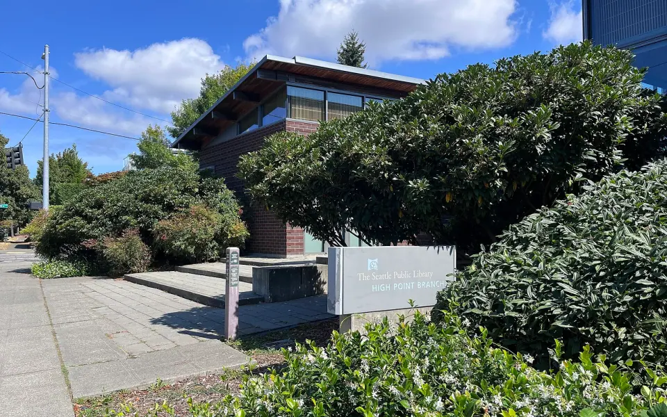
The Seattle Public Library has three branches across Delridge. Drop by the Delridge Branch at 5423 Delridge Way SW, with small parks and gardens nearby.
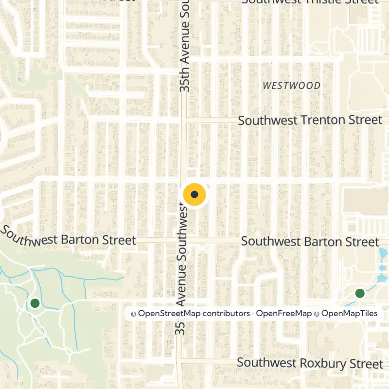
The High Point Branch on SW Raymond St dates back to 1942 and moved into its current building in 2004, while the Southwest Branch serves Roxhill from 35th Ave SW. Check the library's website for current hours before you visit any branch.
Find Your Bearings in the Smaller Neighborhoods
A few lesser-known names come in handy when reading maps. Snake Hill lies between Camp Long and High Point, just west of Longfellow Creek. Roxhill is the western half of Westwood, while South Delridge now covers the eastern half on some maps.
Some city maps of the Delridge area also take in industrial land along the lower Duwamish, Harbor Island and the forested slope called Boeing Hill. On a first visit, though, spend your time where most people do, among the valley parks and along the creek.