Skip to content

South Delridge

Spend a day in South Delridge, the residential eastern half of Westwood near Seattle's southern edge, with a Saturday farmers market, a creekside community garden and shopping close by.

Part ofDelridgeSeattle neighborhoods

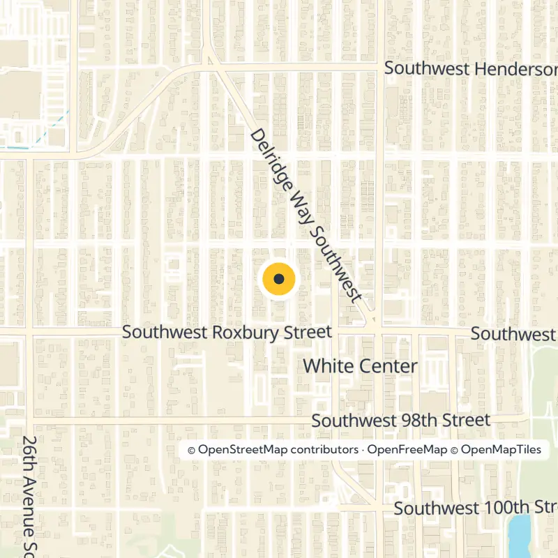
Map of South Delridge in Seattle showing 2 places we cover
Map of South Delridge Explore the interactive map
Parks, landmarks and markets

Places to go in South Delridge

Open in OpenStreetMap
Filter places by type

Frequently asked questions

South Delridge is the eastern half of Westwood, in southwest Seattle near the southern city limits. It sits in the Delridge area, which is often grouped with West Seattle.

It covers the eastern half of Westwood, and the name has replaced Westwood on some maps. Longtime residents generally still call the area Westwood.

It runs Saturdays from 10 am to 2 pm in season at 9421 18th Ave SW. Dates and hours can change, so check the official market listing before going.

Its partially restored wetland source is in Westwood, just inside the southern city limits. The creek then flows north through the Delridge valley toward the Duwamish River.

The garden has 22 plots at SW Thistle St and 25th Ave SW. It has been part of the City of Seattle's community gardening program since 2003.

About South Delridge

Longfellow Creek rises from a partially restored wetland near Seattle's southern city limits, and the mostly residential streets around its source hold community garden plots, open greenspace and a summer Saturday market. Welcome to South Delridge, Seattle, the eastern half of Westwood in the southwest corner of the city, where many longtime residents still call the whole area simply Westwood. Westwood Village shopping sits close by for errands.

Finding Your Way Around South Delridge, Seattle

Picture the wider Delridge district as a valley carved by Longfellow Creek, filled mostly with homes and open space rather than commercial strips. It is usually grouped with West Seattle, and some people consider it part of West Seattle outright.

A Newer Name for Part of Westwood

Westwood stretches between 35th and 16th Avenues SW near the city line. Some maps now label its eastern half South Delridge and its western half Roxhill, but the new name has not really caught on in everyday talk, so expect neighbors to say Westwood instead.

Read the full South Delridge guide

Delridge Way SW and the Creek Valley

Follow Delridge Way SW, the arterial that ties the whole area together and makes the natural route in and out. It runs along the eastern slope of the Longfellow Creek valley, starting near the creek's source just inside the southern city limits. From there it heads north all the way to the West Seattle Bridge over the Duwamish River.

Saturday at the Delridge Farmers Market

Plan a Saturday around the neighborhood's weekend gathering spot at 9421 18th Ave SW, open from 10 am to 2 pm in season. Our guide to the Delridge Farmers Market has the details. Hours and season dates can shift from year to year, so confirm them before you set out.

Longfellow Creek: Headwaters, Garden and Greenspace

Think of the creek as the thread that runs through this part of the city. Its partially restored wetland source lies in Westwood, and from there the water flows north through the valley toward the Duwamish estuary.

Longfellow Creek P-Patch

Stroll over to SW Thistle St and 25th Ave SW to see the Longfellow Creek P-Patch community garden, home to 22 plots and part of the City of Seattle's community gardening program since 2003. Neighbors tend these beds themselves, so treat the plots with care if you stop for a look.

Longfellow Creek Greenspace and Roxhill Park

Spend some time along the Longfellow Creek Greenspace, which protects open land beside the waterway in this part of Delridge. Just to the west, the creek flows right through Roxhill Park, adding another green corridor. Together they make the headwaters area one of the quieter natural stretches in the neighborhood.

Shopping and Everyday Errands

Head to Westwood Village, the area's main retail stop, for practical errands. This big box plaza has grown in recent years, with national chains such as Target and Marshall's as anchors. The housing picture around it is changing as well, with many new townhomes going up across Westwood.

Nearby Delridge Neighborhoods for a Detour

Keep going and you will find several neighboring Delridge communities, each with its own character. A short drive or ride along the valley opens up more to explore.

  • Highland Park, east of 16th Ave SW, is a traditionally working-class area that now has wide ethnic diversity. Visit Westcrest Park, which sits beside the West Seattle Reservoir and includes an off-leash dog area.
  • High Point, west of central Delridge, earns its name as the highest ground in Seattle, at 520 feet above sea level.
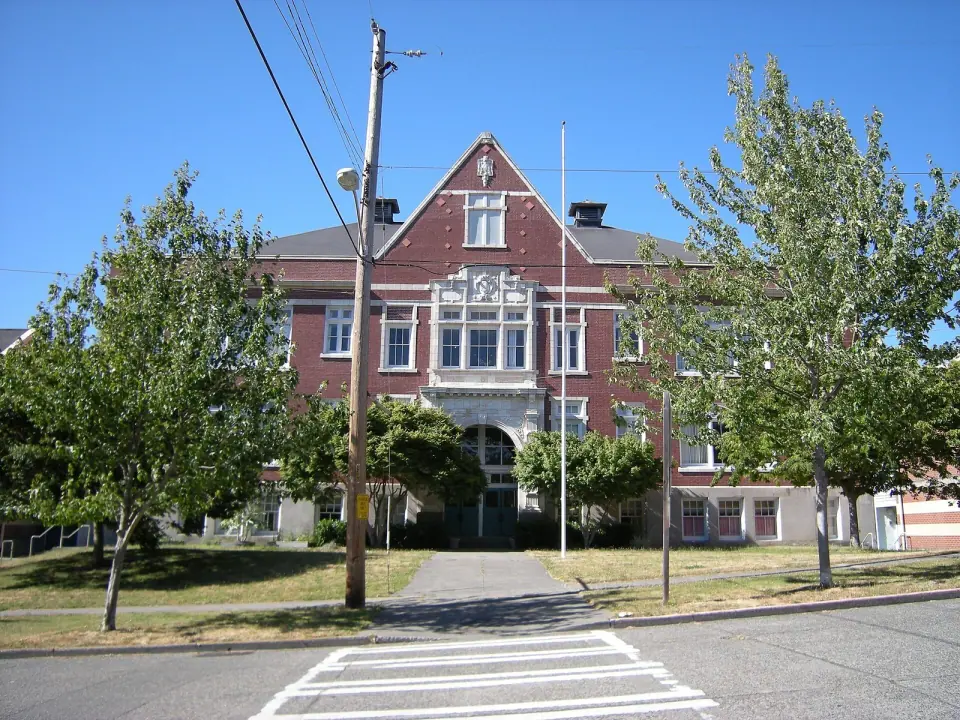
  • Youngstown and Cottage Grove, at the north end of the valley, are home to the Youngstown Cultural Arts Center. It fills the old Frank B. Cooper School on Delridge Way, a building listed on the National Register of Historic Places.

Tips Before You Go

  • Save your market trip for a Saturday in season, and check current dates and hours first.
  • Use Delridge Way SW as your landmark when moving between South Delridge and the neighborhoods to the north.
  • Ask for directions using Westwood if a local seems unsure what South Delridge means.
A little farther

More neighborhoods nearby