From water cannons to steam shovels
The work began along First Avenue in 1897, and that stretch wrapped up on January 6, 1899. Then, from 1902 to 1911, crews pumped water from Lake Union and used hydraulic mining methods to wash the hill straight into Elliott Bay, as Regrade No. 1 cleared everything left between Fifth Avenue and the waterfront.
The last section, east of Fifth Avenue, held out until 1929 and 1930. Denny Regrade No. 2 finished the job with steam shovels instead of water, and that final push carved out much of the ground you walk on in the Denny Triangle today.
Finding the Edges of the Denny Triangle
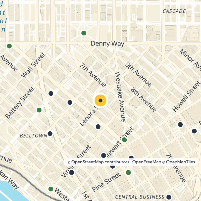
Like most Seattle neighborhoods, the Denny Triangle has no official borders, so do not be surprised when maps disagree. Most do agree that Denny Way marks the northern edge. Beyond that, the lines shift depending on who is drawing them.
One common approach splits the old regrade in two, with Belltown to the southwest and the Denny Triangle to the northeast, divided mostly along Fifth Avenue. In that version, the southern edge follows Virginia Street in the westernmost block, then switches to Olive Way once you cross Westlake Avenue, with a small eastern edge at Interstate 5.
A name that rose with the skyline
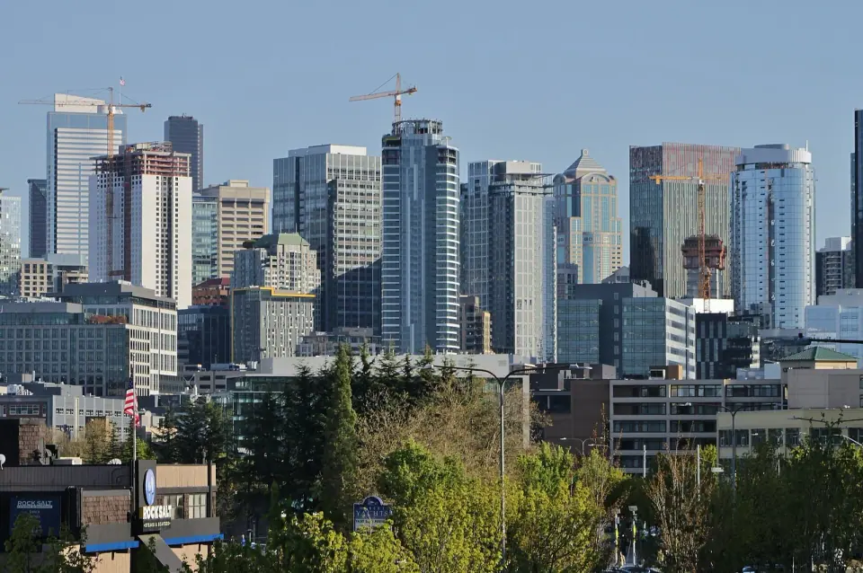
The Denny Triangle name only caught on widely as development picked up in the early 21st century. Older references often fold the whole leveled zone into the Denny Regrade or treat it as part of Belltown. Locals may use any of these names, so expect a little overlap when you ask for directions.
What to See While You Are Here
McGraw Square
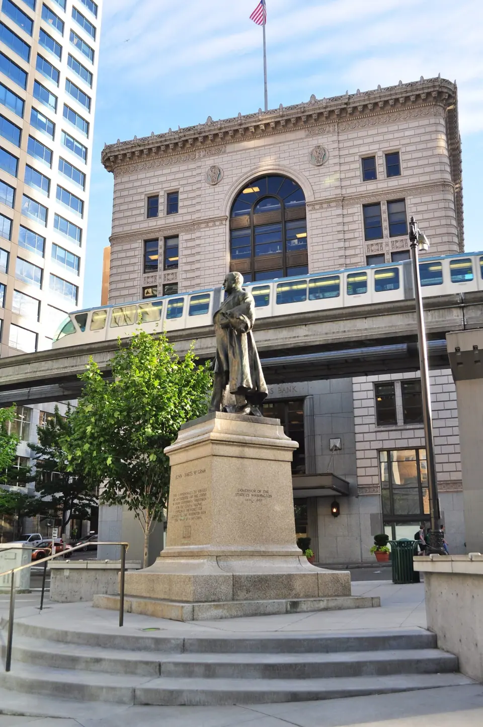
Start at Westlake Avenue and Stewart Street, where McGraw Square ranks among the smallest parks in Seattle. Pause at this compact downtown plaza to see its 1913 bronze statue of Governor John McGraw. It also marks the end of the South Lake Union Streetcar line, so it makes a handy jumping-off point for heading north.
South Lake Union Saturday Market
Don't let the name fool you: the South Lake Union Saturday Market sets up at 2100 6th Ave, right inside the Denny Triangle. Plan to stop by this seasonal market between 11 am and 4 pm. Dates and hours can change from year to year, so check before you go.
Older buildings and a famous sign
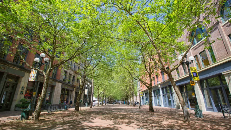
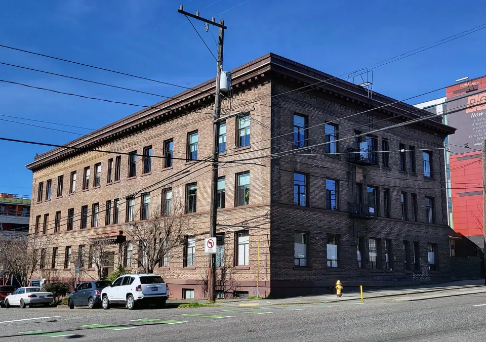
Stroll past the places the City of Seattle lists in this area, including the Elephant Car Wash Sign, Norway Hall, the Lloyd Building and the El Rio Apartments. Look out for the Fashioncraft Building, home to Recovery Cafe, and Westlake Square, which appear on that list too. Together they give you a feel for the neighborhood before its recent towers went up.
Planning Your Walk
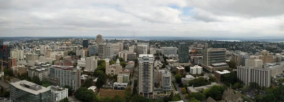
Since the ground was leveled, the Denny Triangle is one of the easier parts of central Seattle to explore on foot. Begin your loop at McGraw Square, then head north toward Denny Way and the Seattle Center grounds beyond. On a summer or fall Saturday, time your route so you pass the market on 6th Avenue.
As you go, try picturing the hill that once loomed overhead. The streets you cross sit far below where the original summit rose, a striking reminder of how boldly early Seattle reshaped its own landscape.