Two crossings link South Park with Georgetown: one at 1st Ave S on the far northern edge, and the South Park Bridge at the top of 14th Ave S. Industrial land surrounds the residential blocks, which gives the neighborhood a distinct, self-contained character compared with much of the city.
When South Park Was Its Own Town
Picture South Park as a municipality of its own, because that is exactly what it was. The town incorporated on December 9, 1902, and its council gathered for the first time later that month. Over roughly four and a half years of independence, three mayors led it: S. J. Bevan, G. C. Lingenfelter and A. G. Breidenstein.
The fight for clean water
Basic services were a constant struggle for the young town. Georgetown owned water mains running right through South Park yet refused to supply its neighbor, and the dispute landed in court. South Park turned to a private water company instead, but in April 1906 that supply tested as contaminated, since the town had no sewer system.
The council asked Seattle to extend Cedar River water mains to the town line, and clean water has flowed ever since. Today the City of Seattle also handles sewage service for the neighborhood.
Becoming part of Seattle
Residents first voted for annexation in October 1906, 131 to 59, though nothing came of it. A second vote in March 1907 passed 181 to 36, and on May 3, 1907, South Park officially joined Seattle. If you want to dig deeper, the Seattle Municipal Archives hold the old town's records.
Bridges and the Old Brick Road
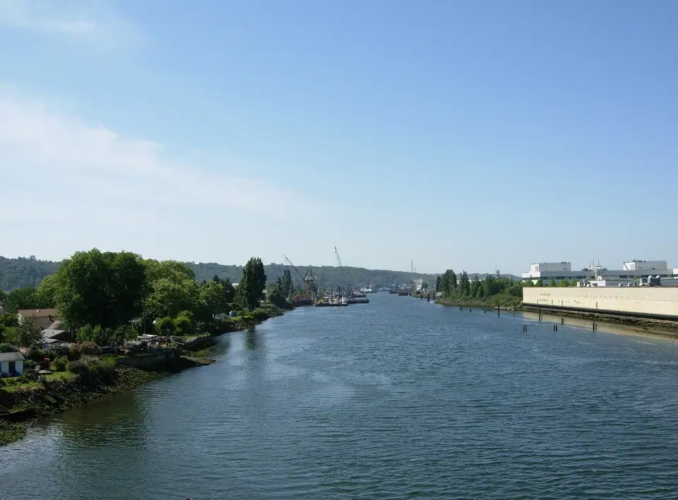
Crossing the Duwamish has always defined life in South Park. The river once followed a looping course here, and the bridges changed right along with the waterway.
Earlier crossings
Before the river was straightened into the Duwamish Waterway, an electric railway crossed on a north to south bridge at 8th Avenue, with a road bridge a few blocks northeast. Thanks to a bend in the river, the South Park end of that road bridge actually sat on the east side. After the straightening, a new bridge at 8th Avenue South carried traffic from 1914 until 1937.
Today's South Park Bridge
Head to the top of 14th Avenue S to see the current South Park Bridge, a double-leaf bascule bridge built between 2011 and 2014. It joins 16th Avenue S in Georgetown with 14th Avenue S in South Park and opened to the public on June 30, 2014. It replaced a span from 1929 to 1931 that had earned a place on the National Register of Historic Places but had badly deteriorated by the 2000s.
The brick road toward Des Moines
Just west of the bridge on the South Park side, keep an eye out for a stretch of brick pavement underfoot. It once led to an earlier bridge at roughly the same spot, and it ranks among only a few brick roads left in Seattle. This was the northern tip of a route that ran all the way to Des Moines, Washington.
You can still trace that old path today. About eight blocks south of the river, Des Moines Memorial Drive branches off 14th Avenue S and climbs into unincorporated King County, the area known as Boulevard Park.
Parks and Public Spaces in South Park
For such a small neighborhood, South Park enjoys a generous share of public land. Most of it is managed by Seattle Parks and Recreation or listed in City of Seattle records.
The park on Cloverdale Street
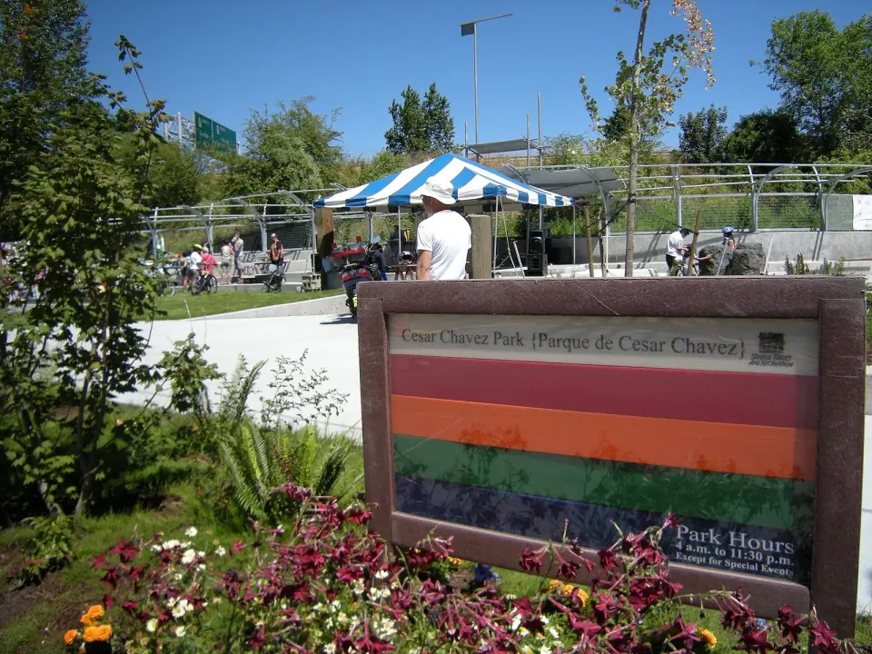
Start at the neighborhood's central gathering spot, a small community park at 700 S Cloverdale St. It began as unused county land, passed to the city, and was built in 2007 and 2008. It opened as Cesar Chavez Park and has since been renamed Parque Libertad, so you may spot either name on maps and signs. From here, the branch library, a playground, a dog park and two city landmarks all sit within a short stroll.
Green space along the river and beyond
City records list several more public spaces worth looking up before you go:
- Marra Farm and Marra-Desimone Park
- South Park Meadow
- Duwamish Waterway Park, on the river that gives the area its identity
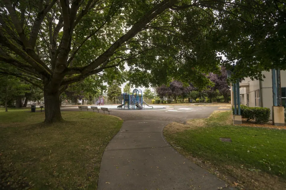
- South Park Playground
Check with Seattle Parks and Recreation for current access, amenities and any seasonal changes as you plan your visit.
Library and neighborhood center
The South Park Branch of the library sits near the Cloverdale park. Nearby, the neighborhood center fills the former Fire Station 26, a fine example of an old civic building given new life for the community. City records also count Querio House and Concord Elementary School among the area's places. Hours and public access can change, so confirm them with the official operators.
Community and Character
About 4,154 people call South Park home, and roughly 47 percent are Latino, the highest concentration of Hispanic residents of any Seattle neighborhood. That community shapes the neighborhood's identity and its daily life.
Property values here run lower than in much of the city, and some observers see room for growth. Take the time to understand South Park on its own terms, as a neighborhood in transition.
Before You Go
Decades of surrounding industry have left their mark. Heavy metals have turned up in the topsoil, the Duwamish River has a record of unhealthy levels of toxic chemicals, and the air has been affected too. If you plan to dig, garden or have contact with the river, check public health guidance first.
For an easy outing, begin at the Cloverdale park, walk north on 14th Ave S to the brick road and the bridge, and gaze across the water toward Georgetown. It is a short route that takes in much of the neighborhood's history.