Scuba diving the underwater park
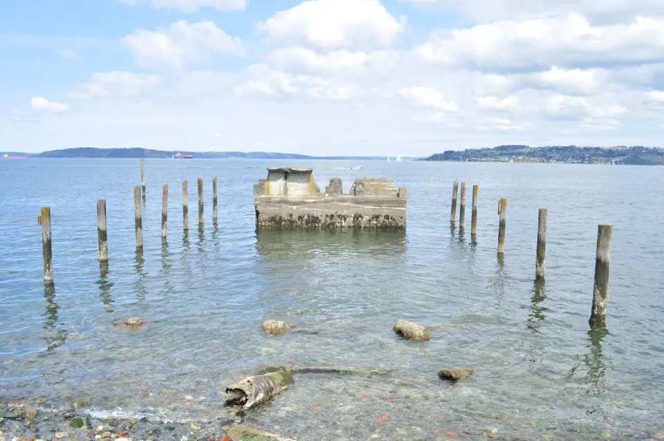
Gear up for the reef that makes the park popular with scuba divers. State Parks calls Saltwater the only state park with an underwater artificial reef, and in 1970 the Parks Commission designated the seabed out to a quarter mile from the beach as one of six underwater parks. A buoy marks a sunken wreck about 300 yards offshore, where divers find wolf eels, plumose anemones, large rockfish, lingcod and giant Pacific octopus, according to the park's official history. Expect sea stars, urchins, scallops and lingcod that can grow to five feet long. A scuba rinse station sits near the reef area on the park map. Fishing and harvesting are not allowed in the artificial reef area, and the whole park has been a Marine Protected Area since 2009.
Forest trails and McSorley Creek
Leave the beach behind and follow the trails up the McSorley Creek ravine, where the North Rim and South Rim trails climb through second-growth forest to cliff edges and wooded plateaus; the park brochure counts about 2 miles of hiking trails. In fall, look for salmon spawning in McSorley Creek, and keep an eye out for stinging nettles along the side creeks. State Parks describes them as cool, green forest trails, a welcome break from the sun on the beach.
Picnics and shelters
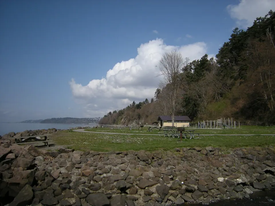
Pack lunch: the park has two reservable picnic shelters without electricity and 147 unsheltered picnic tables available first come, first served, most of them in the sun near the beach or in the shade along McSorley Creek. You will also find barbecue grills, a playground, a volleyball court and restrooms, and concessions are listed among the park's amenities.
Camping (currently closed)
Plan a day trip unless the park's alerts say camping has reopened. State Parks closed the campground area for projects, some caused by flooding and erosion, and said it would use the closure to reevaluate camping in the park. Check the park's alerts before you count on a site, and see our camping near Seattle guide for other options.
Saltwater State Park history: a truce between Seattle and Tacoma
The land along McSorley Creek lies within the traditional territory of Coast Salish people whose descendants include the Muckleshoot Indian Tribe and the Puyallup Tribe, and a Muckleshoot elder born in 1898 recalled trips down an ancient trail through the ravine to dig clams on the beach. Irish immigrant James McSorley homesteaded the land in 1877 and sold it to King County in 1902.
In the 1920s, Seattle and Tacoma were rivals for the title of Puget Sound's leading city, even arguing over whether to call the mountain Rainier or Tahoma, and business clubs in both cities raised money from about 6,000 donors, most giving a dollar, to buy part of the old homestead as a park between them. At the dedication on April 24, 1926, the mayors of Seattle and Tacoma ceremonially buried a hatchet under a newly planted hawthorn tree, with about 5,000 people watching. In 1934, a Civilian Conservation Corps crew widened the access road, built restrooms and a caretaker's residence, and built a 1,300-foot seawall promenade above the beach; the same crews also helped develop Tacoma's Point Defiance Park.
Know before you go
- Hours: 8 a.m. to dusk, year-round.
- Parking: a Discover Pass is required, either an annual or a one-day pass; you can buy one online before you go.
- Dogs: allowed on a leash.
- Fires: wood fires are not allowed anywhere in the park; check the park's alerts for the current burn ban level before you light a grill.
- Alcohol: prohibited throughout the park, including reserved shelters.
- Fishing and shellfish: a state recreational license is required, and harvesting is not allowed in the reef area.
- Boaters: mooring buoys are available offshore for a fee.
How to get to Saltwater State Park from Seattle
Drive south on I-5 toward Des Moines; the park is about two miles west of the freeway at 25205 8th Place S, and the entrance is on 8th Place S near S 252nd Street, in the ravine below the Marine View Drive bridge.
There is no bus stop at the park entrance. The closest light rail stop is Kent Des Moines Station on the Link 1 Line; from there, a taxi or rideshare is the simplest way to cover the last stretch, or take Metro Route 166 into downtown Des Moines if you want to see the marina first. Our Des Moines guide covers the marina, Des Moines Beach Park and the Redondo boardwalk, all a short drive north or south, and our Seattle beaches guide lists shoreline closer to the city.