Skip to content
Queen Anne Boulevard

Queen Anne Boulevard

Stroll the loop of streets crowning Queen Anne Hill, an Olmsted-style boulevard and City of Seattle landmark No. 38, where old brick retaining walls, balustrades and street lights line the way.

Part ofNorth Queen AnneSeattle landmarks

Frequently asked questions

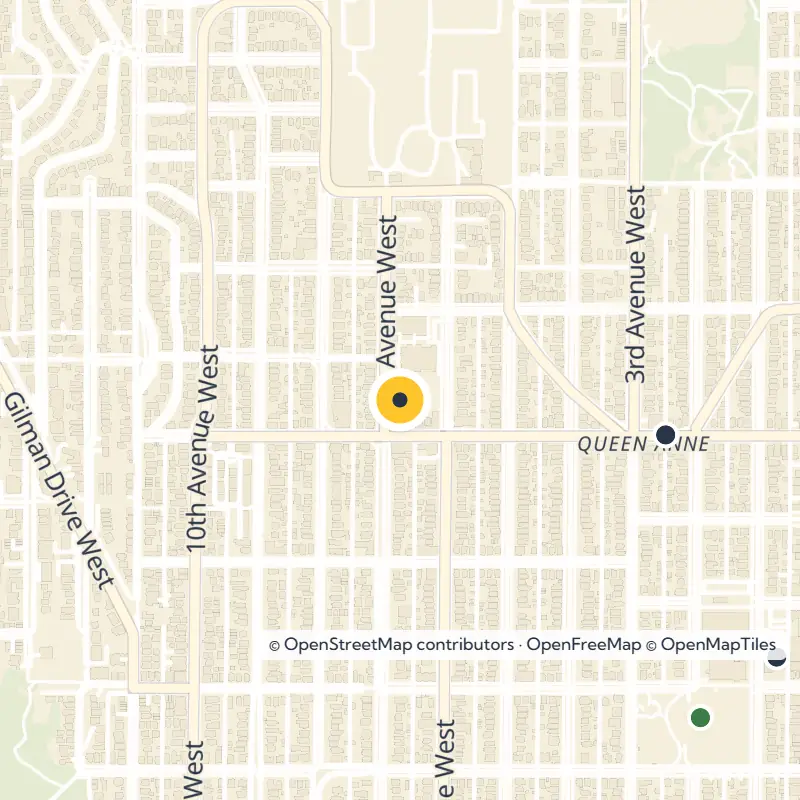
Queen Anne Boulevard is a set of streets that together loop around the crown of Queen Anne Hill. The route reflects a boulevard design in the style of the Olmsted Brothers and remains part of the Seattle parks system.

Yes. The Seattle Landmarks Preservation Board lists it as City Landmark No. 38, and some of its original retaining walls, with decorative brickwork, balustrades and street lights, are also part of the designation.

No. The comprehensive boulevard design was never fully carried out, though the streets that were built still form a loop around the hilltop.

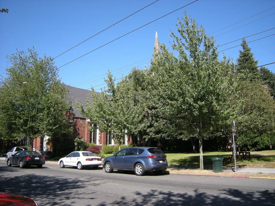
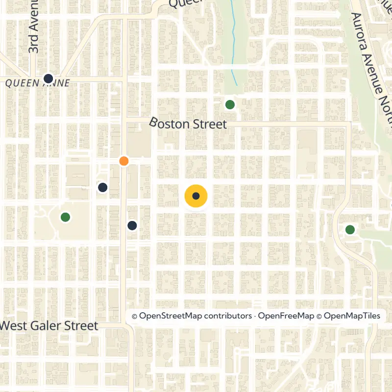
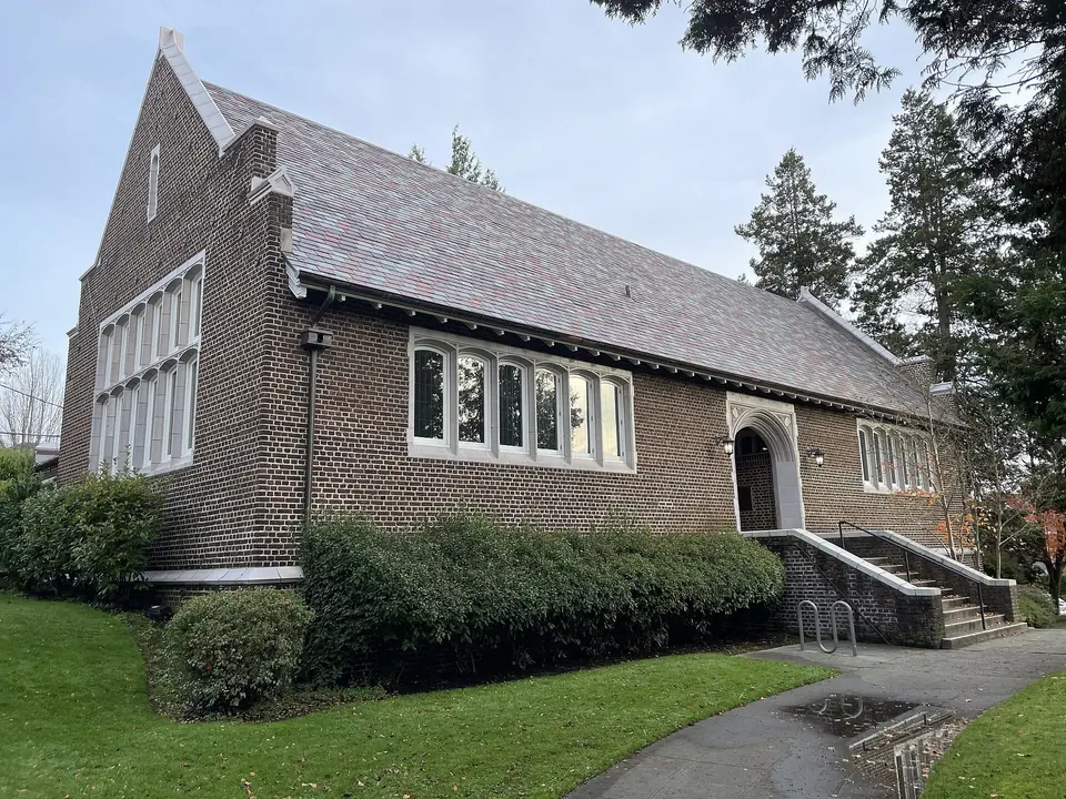
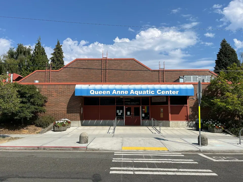
Within about half a mile are the Queen Anne Farmers Market, Queen Anne Pool, Bethany Presbyterian Church, West Queen Anne Playfield, David Rodgers Park and Wolf Creek Ravine Natural Area.

The full guide

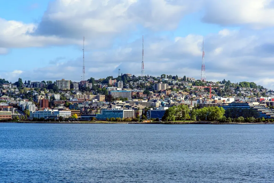
Decorative brick retaining walls, balustrades and historic street lights trace a ring of streets around the crown of Queen Anne Hill. This is Queen Anne Boulevard, a loop in North Queen Anne, Seattle, laid out as a boulevard plan in the manner of the Olmsted Brothers and designated City of Seattle landmark No. 38. Set out on foot and you get a fine look at the hilltop at an easy walking pace.

A Loop, Not a Single Street

Don't go looking for one road with one name. Queen Anne Boulevard is a group of connected streets that together wrap around the top of the hill, so your walk becomes a circuit rather than a straight line from point A to point B.

The streets reflect a complete boulevard design in the style of the Olmsted Brothers, the landscape architecture firm known for parks and parkways. That plan was never carried out in full, yet the boulevard still belongs to the Seattle parks system. That helps explain why a stroll here feels more like wandering a linear park than an ordinary residential street.
Read the full guide

Why It Became a Landmark

The Seattle Landmarks Preservation Board lists Queen Anne Boulevard as City Landmark No. 38, a designation that covers the boulevard itself along with some of its original retaining walls.

Those walls are where you'll want to slow down. As you go, watch for:

  • Decorative brickwork on the retaining walls
  • Balustrades along the edges
  • Historic street lights

Queen Anne holds 29 official city landmarks in all, and this one stands apart because it is a route you can walk rather than a single building. To keep exploring designated sites around town, browse our guide to all Seattle landmarks.

The Story of the Hill

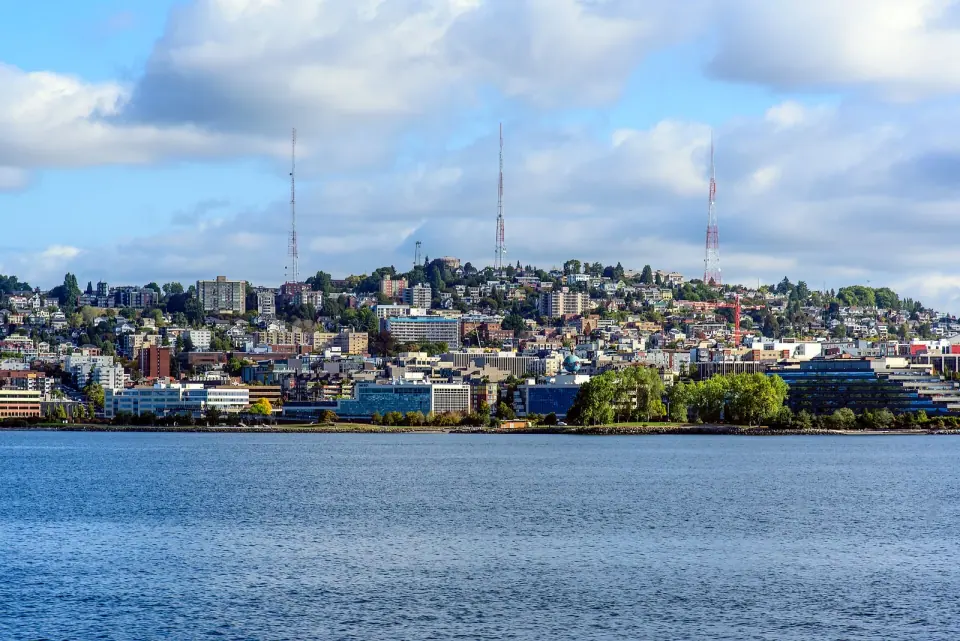
The ground beneath your feet was shaped by the Vashon Glacier more than 13,000 years ago. When white settlers arrived in the mid-1800s, the Duwamish people kept a seasonal presence in the area.

Settlement on the hilltop came slowly until an 1875 windstorm knocked down thousands of trees in what had been dense forest. By 1885 the hill was being called Queen Anne, after the Queen Anne style houses that filled it, and from 1890 cable car lines ran to the summit, including the Queen Anne Counterbalance. The hill soon became a favored spot for the city's early elite to build mansions.

Picture the boulevard against that backdrop: it was part of an effort to give a prosperous residential neighborhood a park-like setting right at the top.

Tips for Walking the Hilltop

Come ready to climb. Queen Anne's slopes hold seven of the twenty steepest streets in Seattle and about 120 public staircases, so expect some effort if you approach the boulevard from below.

Once you reach the crown, the loop makes it easy to plan a walk that brings you back near where you started. Wear comfortable shoes, and leave the car behind, since the retaining walls and balustrades are best appreciated on foot.

Driving in, take the Mercer Street exit (Exit 167) from Interstate 5. For current parks information, check with Seattle Parks and Recreation.

Nearby Stops Within Half a Mile

Round out your loop with several parks and landmarks close by in North Queen Anne. Straight-line distances are approximate.

Markets and Landmarks

  • Queen Anne Farmers Market (0.2 mi): a seasonal weekly market
  • Queen Anne Pool (0.2 mi): a city landmark
  • Frances Skinner Edris Nurses Home (0.3 mi): a city landmark
  • Bethany Presbyterian Church (0.3 mi): a city landmark

Parks and Green Space

  • Coe Play Park (0.3 mi)
  • West Queen Anne Playfield (0.3 mi): a community center, indoor swimming pool, and baseball and softball fields
  • David Rodgers Park (0.3 mi): next to Queen Anne Bowl, with its dirt running track and synthetic soccer field
  • Wolf Creek Ravine Natural Area (0.4 mi)

Before or after your walk, head to Queen Anne Avenue North between West McGraw and West Galer Streets, the neighborhood's main shopping strip, for food or coffee.