Four corners of one hill
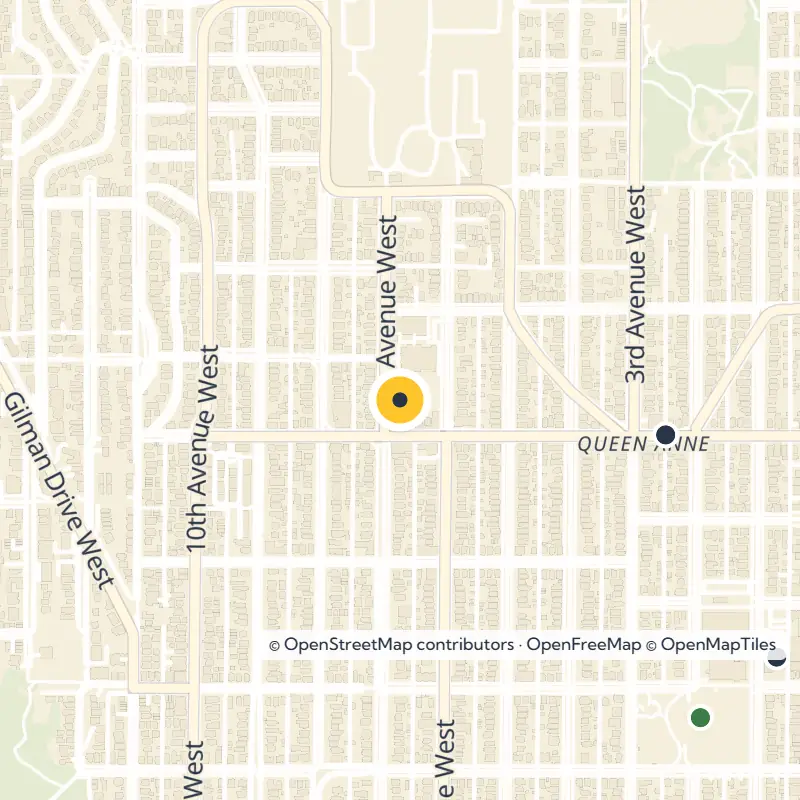
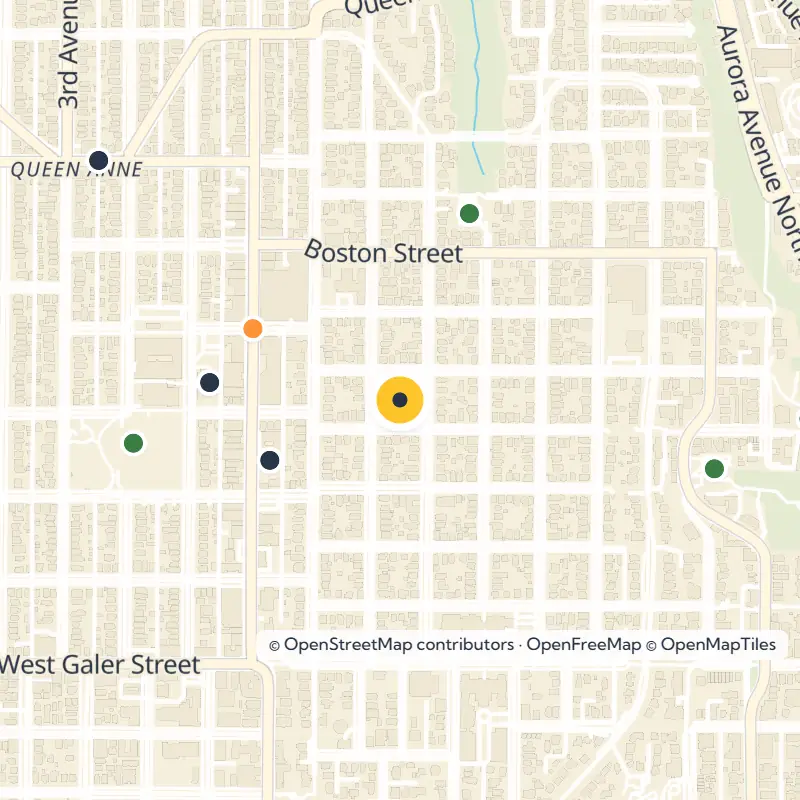
Locals tend to divide the area into North, West, East and Lower Queen Anne, and each has its own feel. Head to the west and south slopes for the famous viewpoints, explore the east side for greenbelts and community gardens, and find Lower Queen Anne wrapped around Seattle Center.
Stairs and steep streets
Come ready to climb, because Queen Anne claims seven of the twenty steepest streets in Seattle and about 120 public staircases. Walking from one viewpoint to the next pays off, but comfortable shoes matter more here than almost anywhere else in the city. If you are driving, the usual approach is from Interstate 5 via the Mercer Street exit.
Catch the Famous Views
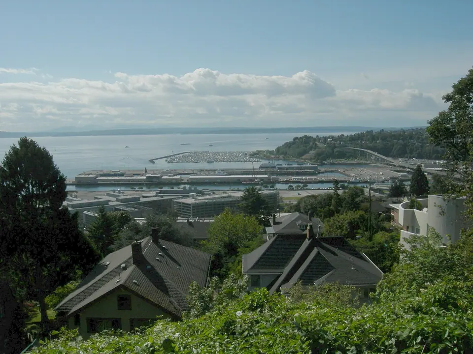
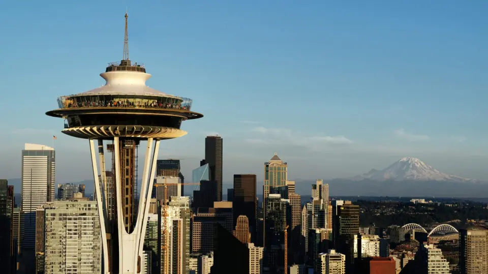
The south and west slopes look straight out at downtown, Elliott Bay and the mountains. That angle explains why so many postcard shots of Seattle are taken right here on Queen Anne.
Kerry Park
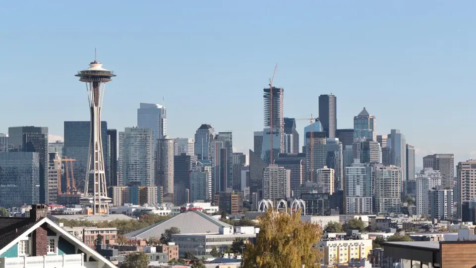
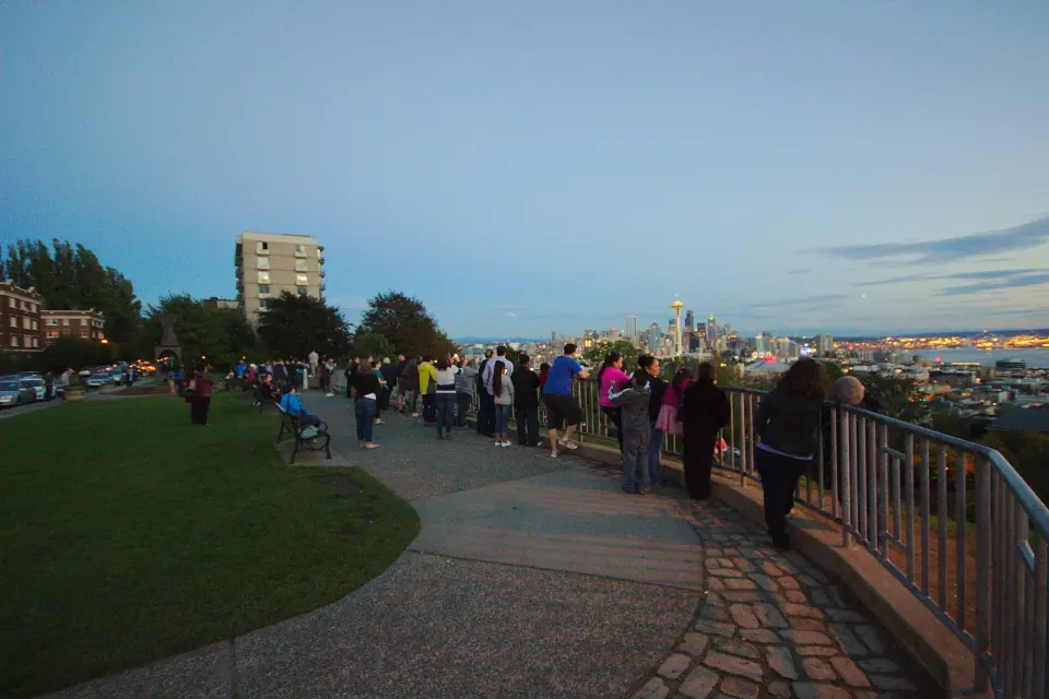
Start at Kerry Park on the south slope, a small viewpoint with the skyline view Seattle is known for. The Space Needle stands in the foreground with Elliott Bay behind it, and Mount Rainier joins the picture on clear days. Just below sits Bayview-Kinnear, sometimes called Lower Kerry Park.
Marshall Park and the Betty Bowen Viewpoint
Over on West Queen Anne, the 0.78-acre Marshall Park holds the Betty Bowen Viewpoint. Keep your eyes on the ground as you stroll, since the concrete path is set with unsigned artwork by Northwest painters including Guy Anderson, Kenneth Callahan and Morris Graves.
Kinnear Park
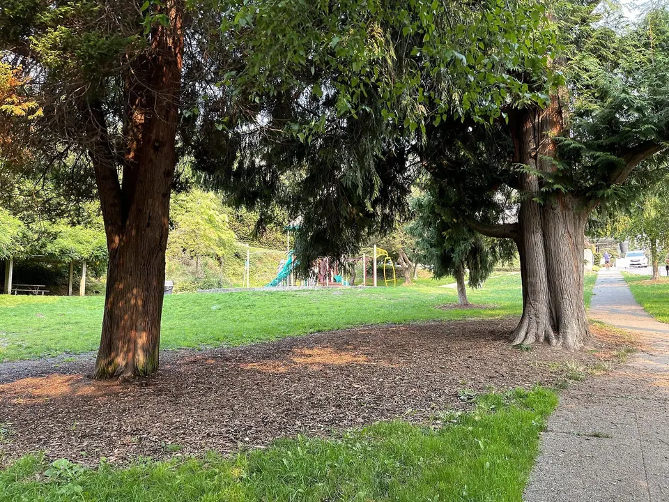
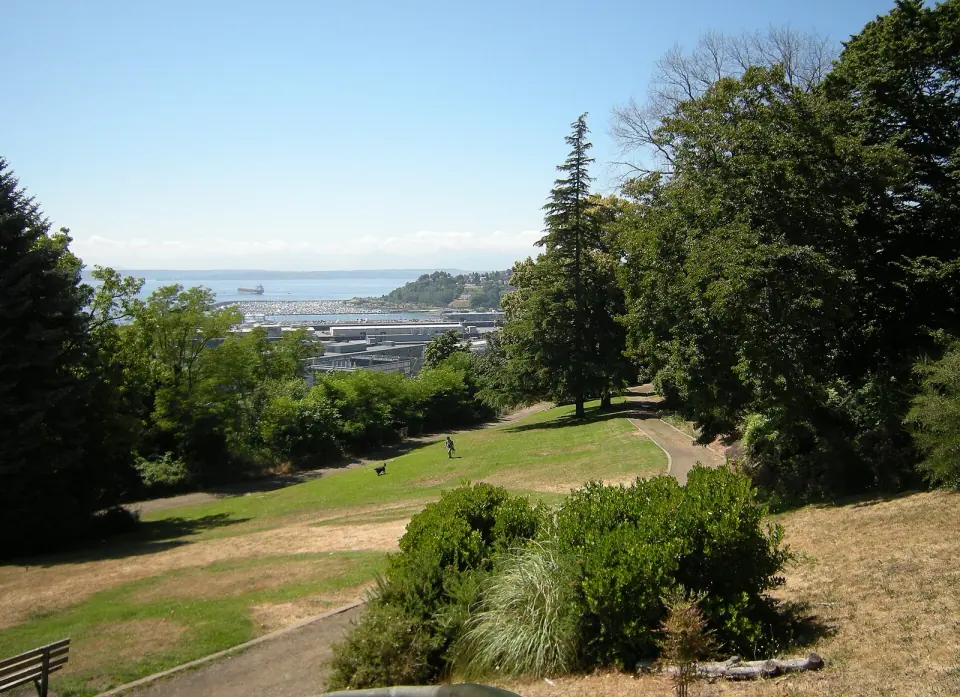
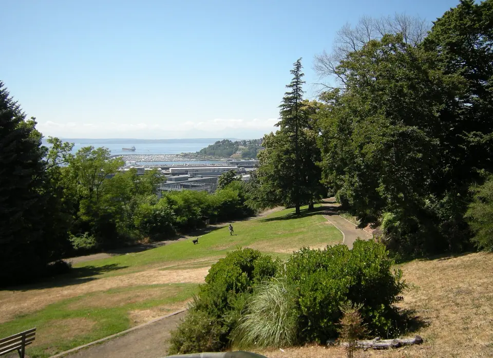
Spend some time at Kinnear Park, which spreads across 14.1 acres of the southwest slope in two tiers: an open lawn up on the bluff and a wooded lower level. Dating to 1887, it ranks among Seattle's oldest designed parks and is a city landmark. Dog owners can also make use of its off-leash area.
Bhy Kracke Park
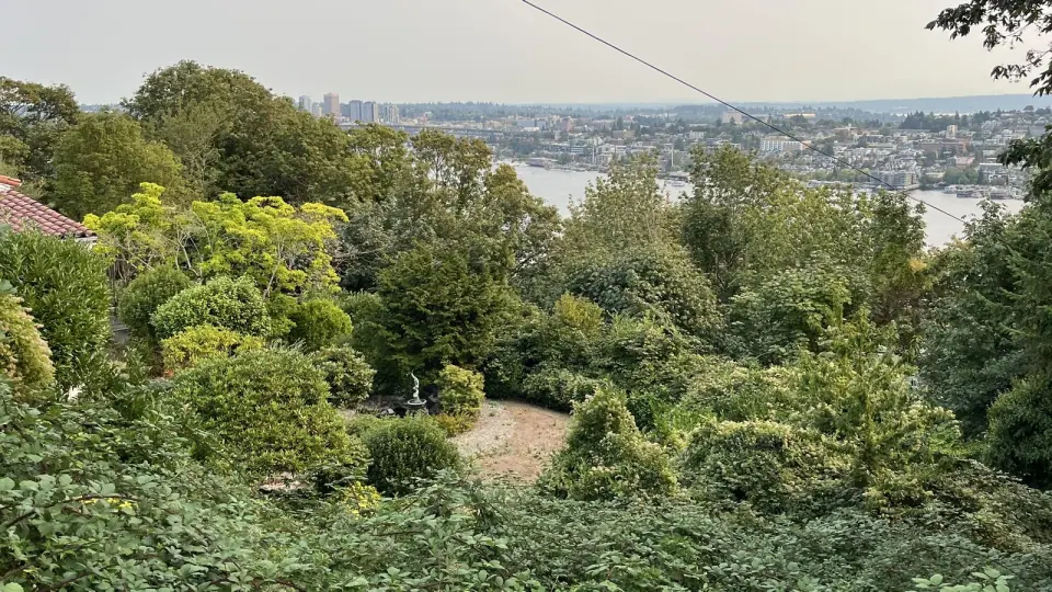
For a fresh angle, head to the southeast slope. This small two-level park winds along a garden trail and looks out over Lake Union, downtown and the Space Needle.
Stroll the Boulevard and Landmark Streets
Queen Anne holds 29 official Seattle landmarks, 12 of them historic houses. The hill took its name by 1885 from the Queen Anne style homes that once filled its streets, and many of the early mansions belonged to the city's wealthy and cultural elite.
Queen Anne Boulevard
Loop around the crown of the hill on Queen Anne Boulevard, a set of streets that follows an Olmsted-style plan never fully built yet still part of the city park system. Its old brick retaining walls, balustrades and street lights are designated landmarks, and the circuit makes a good self-guided walk.
Houses, gardens and a bridge
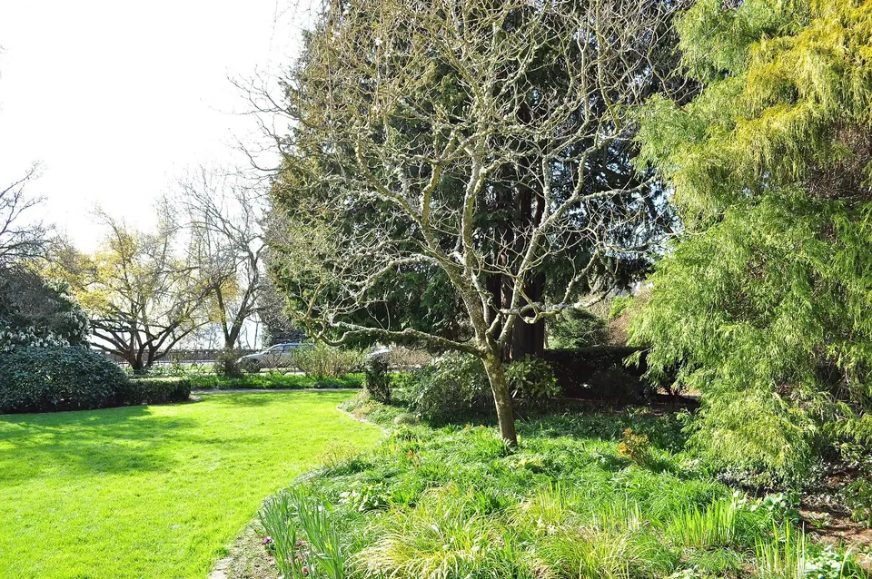
Along 14th Avenue West, a row of homes built between 1890 and 1910 includes one of the few surviving Queen Anne style houses on the hill. Nearby on West Highland Drive, slip into Parsons Gardens, a quiet 0.4-acre landmark park that began as a family garden in 1905.
On the north side, the North Queen Anne Drive Bridge spans Wolf Creek. This parabolic steel arch bridge went up in 1936 and is recognized as a landmark for its engineering.
The Carnegie library
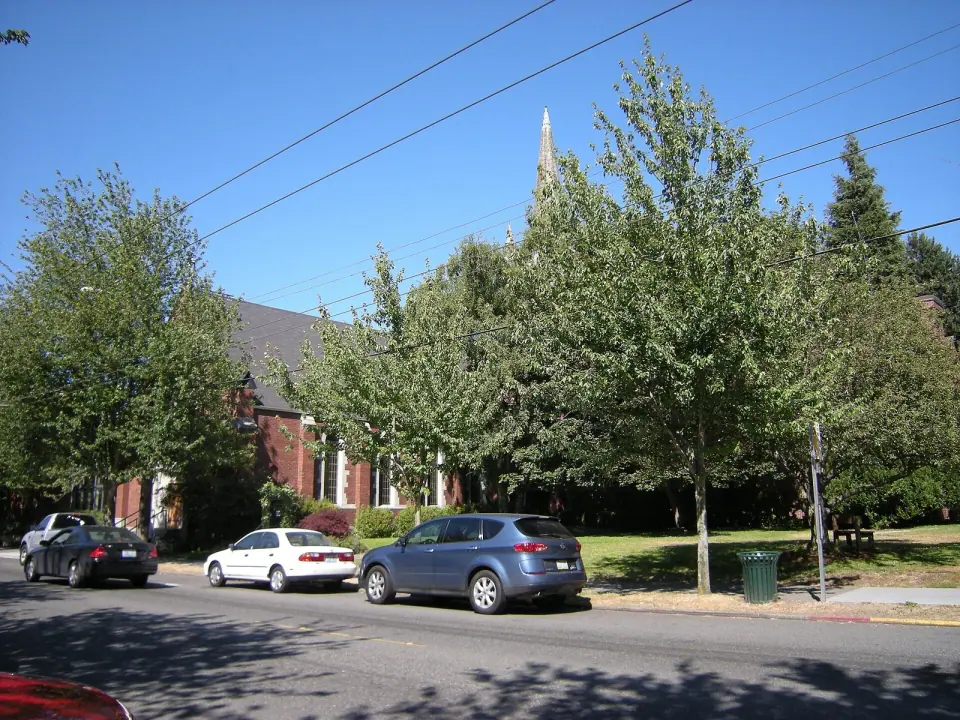
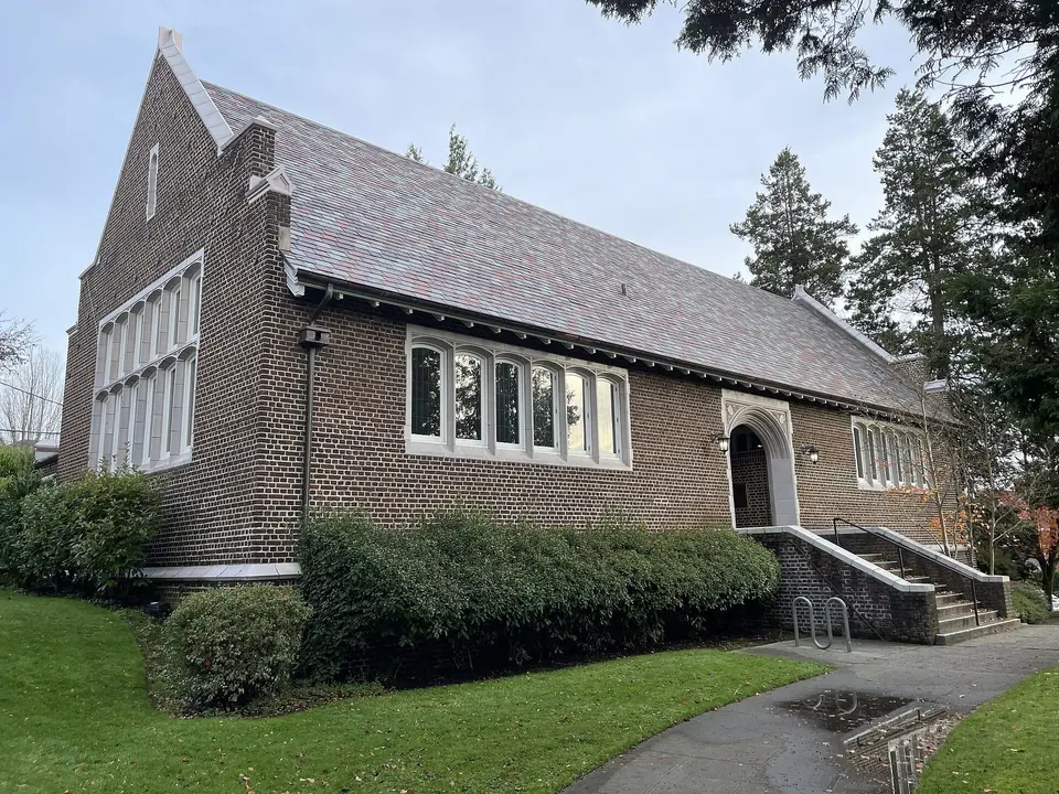
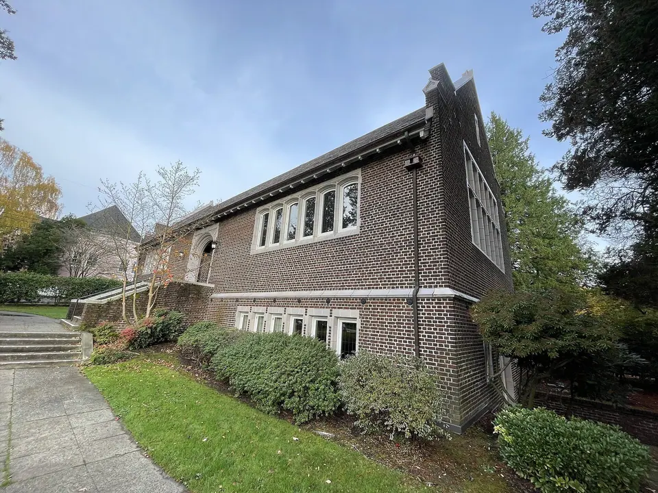
Stop by the Queen Anne Branch Library at 400 W Garfield St, housed in a 1914 Tudor Revival building funded by Andrew Carnegie. Renovated in 2007, it is listed on the National Register of Historic Places and became a city landmark in 2003.
Browse Queen Anne Avenue North
The hilltop's commercial heart runs about 2,600 feet along Queen Anne Avenue North, between West McGraw and West Galer Streets. This is where residents shop, eat and run errands, which makes it a natural place to pause between viewpoints.
Thursday market
On Thursday afternoons, the Queen Anne Farmers Market sets up at W Crockett St and Queen Anne Ave N. The market is seasonal and its dates change, so check its official site before you go.
Nearby landmarks
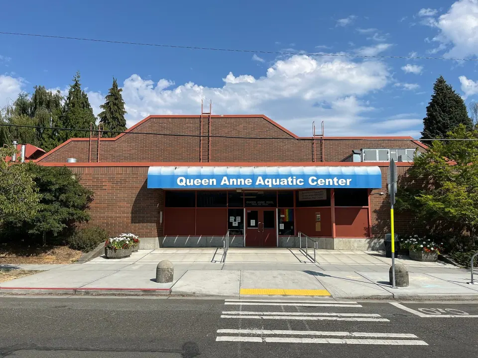
Bethany Presbyterian Church, at 1818 Queen Anne Ave N, has been a city landmark since 1986. Close to the top of the hill, Queen Anne Pool is a 1977 indoor pool designed by architect Benjamin F. McAdoo and named a landmark in 2024. Dive in for lap and family swims, lessons, diving boards, a rope swing and a sauna, and check Seattle Parks and Recreation for current swim schedules.
Explore Lower Queen Anne and Seattle Center
No single event reshaped the base of the hill more than the 1962 World's Fair, whose grounds became Seattle Center once the fair ended.
Space Needle and Pacific Science Center
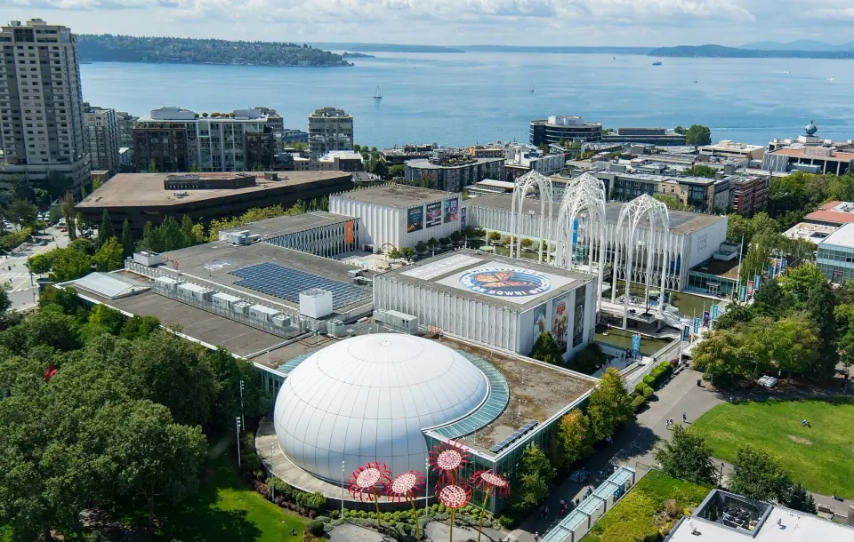
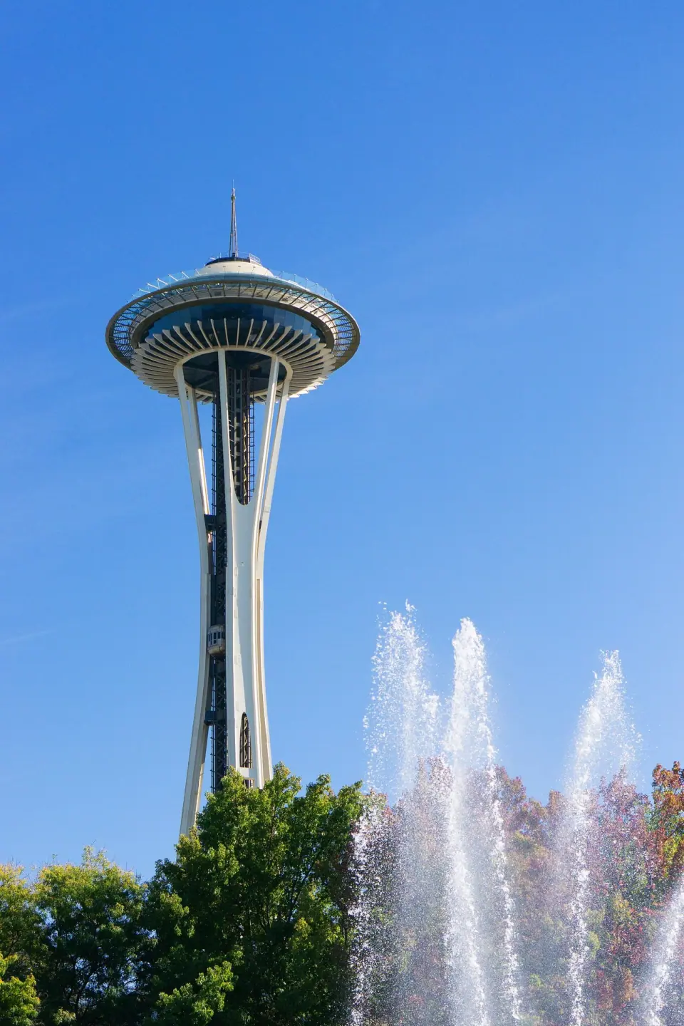
Ride up the 605-foot Space Needle, built in under a year for the fair and now a city landmark, to an observation level 520 feet up with mountain and water views. Next door, Pacific Science Center fills Minoru Yamasaki's arched fair pavilion with IMAX theaters, a Laser Dome, dinosaurs, butterflies and hands-on exhibits.
Around Uptown
Counterbalance Park, at 700 Queen Anne Ave N, is a small city park surrounded by designated landmarks. It borrows its name from the Queen Anne Counterbalance, one of the cable car lines that began climbing the hill in 1890. Seattle Center Exhibition Hall, at 301 Mercer Street, hosts trade shows and exhibits and became a landmark in 2023.
Find Quieter Green Space on the East and North Slopes
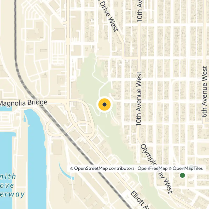
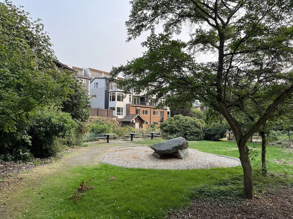
Seattle Parks and Recreation maintains 24 parks on Queen Anne, many of them small neighborhood spots. Wander the Northeast Queen Anne Greenbelt, roughly 35 acres that link to Trolley Hill Park and MacLean Park. Trolley Hill takes its name from a streetcar line that once ran along 5th Avenue North, and you enter through a carved stone entrance.
Families tend to like East Queen Anne Playground, also called Little Howe, which has offered play space since 1910 and has a wading pool. At 3rd Ave N and Lynn St, the Queen Anne P-Patch holds 73 plots that neighbors have tended since 1994. Up on the north slope, Seattle Pacific University spreads across a 43-acre campus.
The Story Behind the Hill
The Vashon Glacier shaped this hill more than 13,000 years ago. The Duwamish kept a seasonal presence here and called the prairie at its base baba'kwoh, land that David Denny claimed in 1853 and that is now Lower Queen Anne.
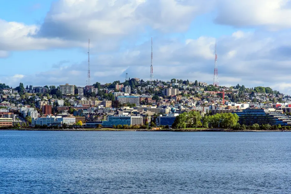
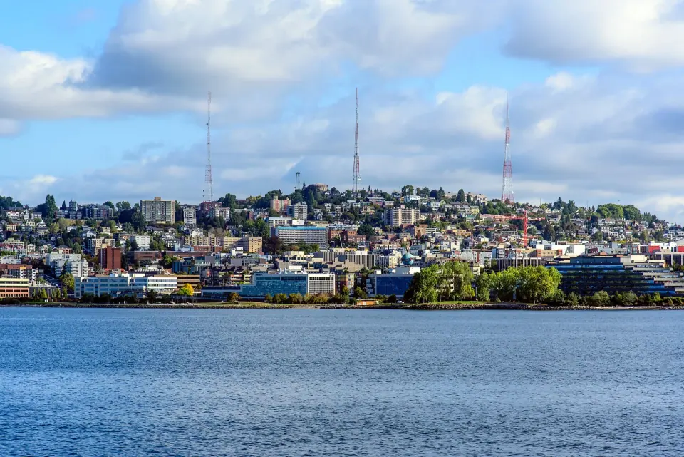
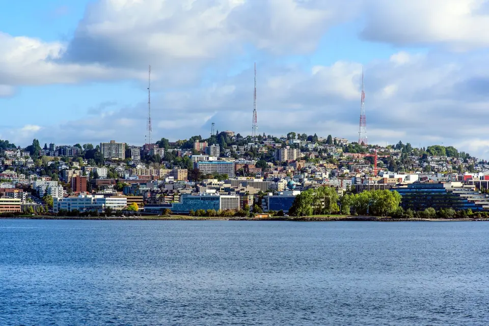
An 1875 windstorm flattened thousands of trees and opened the hill to settlement, with railways and cable cars following. In November 1948 the first television broadcast in the Pacific Northwest went out from a tower on the hill, and look up today to spot the broadcast towers still standing out on the skyline.