Skip to content
Frink Park

Frink Park

Wander a steep, wooded 17.2 acre ravine in Leschi, where Frink Creek runs downhill toward Lake Washington Boulevard. Frink Park was donated in 1906, planned by the Olmsted firm and added to the National Register of Historic Places in 2019.

Part ofLeschiParks in Seattle

Frequently asked questions

Frink Park covers 17.2 acres of wooded hillside and ravine in Seattle's Leschi neighborhood.

The John Charles Olmsted firm designed and planned Frink Park after parks commissioner John M. Frink donated the land to the city in 1906.

Yes. Frink Park was listed on the National Register of Historic Places in 2019.

The park's wooded hillsides are steep and can be hazardous, so sturdy shoes and careful footing are wise. Check Seattle Parks and Recreation for current conditions.

Yes. Frink Park borders Leschi Park at its northwest corner, about 0.2 miles from the Frink Park address.

The full guide

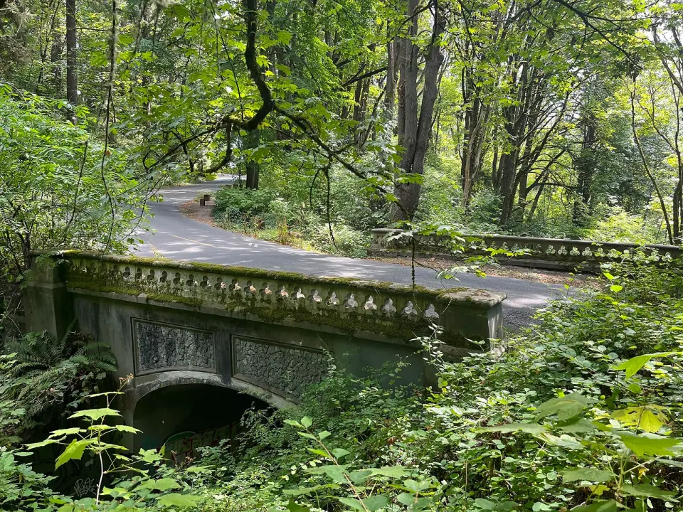
Tall trees crowd a steep hillside, and at the bottom of the ravine, Frink Creek runs downhill toward Lake Washington Boulevard S. as the road curves across the slopes. This is Frink Park, a 17.2 acre wooded hillside in Seattle's Leschi neighborhood. The land was given to the city in 1906 and planned by the John Charles Olmsted firm, and since 2019 the park has been listed on the National Register of Historic Places.

Wander a Forested Ravine Along Frink Creek

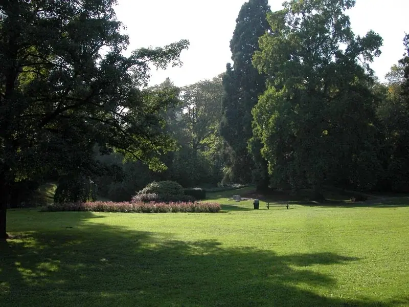
Come for the terrain, because the land itself is what defines this park. Dense trees cover a hillside that drops steeply into the ravine, with Frink Creek flowing along the bottom. The result feels more like a patch of forest than a city lawn, even with residential streets all around it.

Two scenic roads wind through: Lake Washington Boulevard S. and S. Frink Place. Both were laid out as recreational drives, so they follow the bends of the land instead of cutting straight across it.
Read the full guide

Find Your Way Around the Park and Leschi

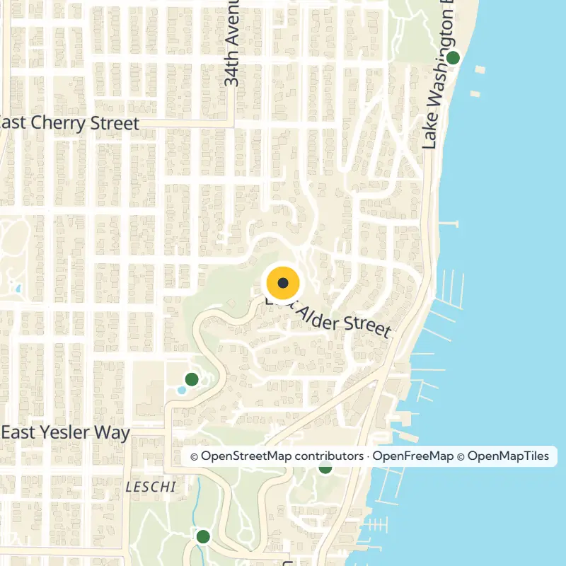
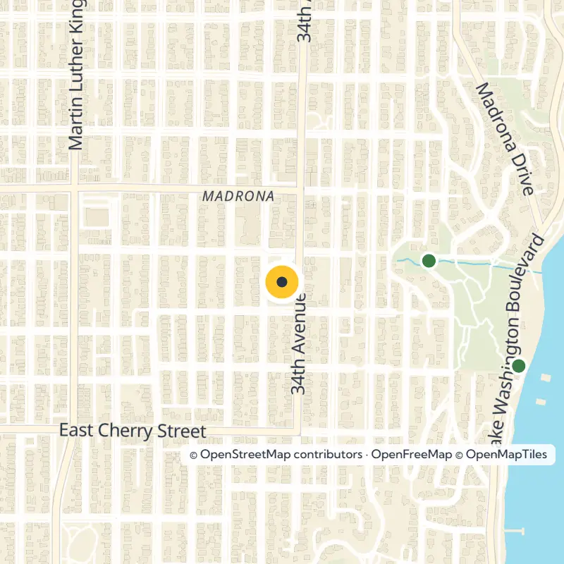
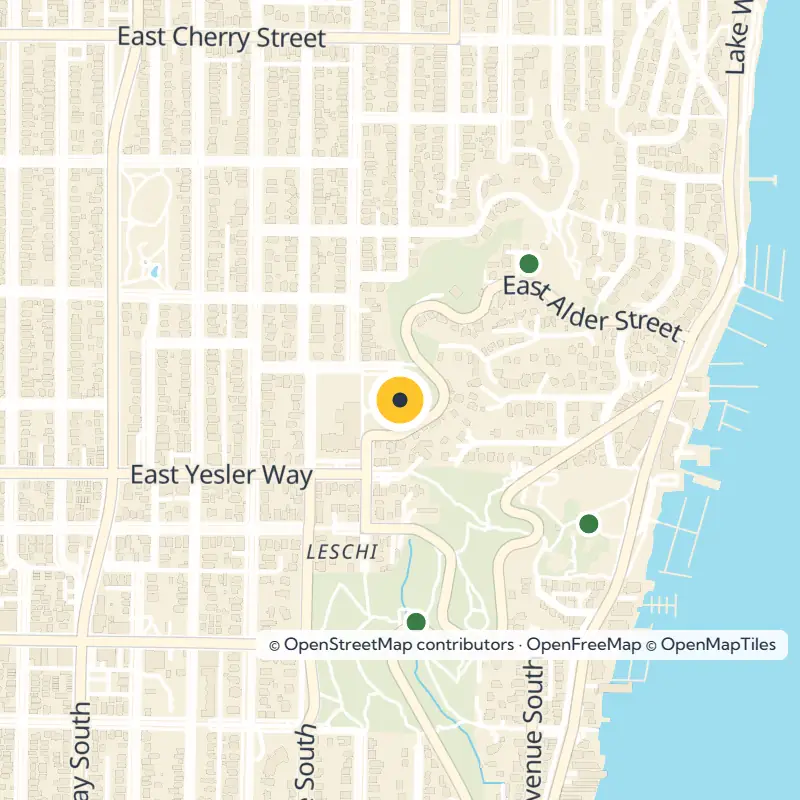
Most of the park fills the space between 31st Avenue S. on the west and 34th Avenue S. on the east, stretching north and south to the rights-of-way of S. Main Street and S. King Street. Set your map to the official address, 398 Lake Washington Blvd S, Seattle, WA 98144.

At its northwest corner, Frink Park touches Leschi Park, so plan to pair the two on a single outing. To explore more of the surroundings, browse our guide to the Leschi neighborhood, part of the Central Area.

The Story Behind the Park, From 1906 to Today

The park still carries the name of John M. Frink, a Seattle parks commissioner who donated the land to the city in 1906. The John Charles Olmsted firm designed and planned it, tying Frink Park to the landscape architects behind much of Seattle's early park system.

Look around and you are taking in a designed historic landscape, not only green space. That is what the National Register of Historic Places recognized when it added the park in 2019, more than a century after the original gift.

Tread Carefully on the Steep Slopes

Bring shoes with good grip, since the wooded hillsides here are steep and can be hazardous. Watch your footing near the ravine, and keep a close eye on children and dogs. If you are driving or cycling the winding park roads, take the curves slowly.

Before you go, check the Seattle Parks and Recreation page for Frink Park for current conditions, rules and any closures.

Keep Exploring Parks and Landmarks Nearby

Plenty more sits within a short walk of the park, measured in straight-line distance:

  • Judge Ronald House (landmark), about 0.2 miles
  • Leschi Park, about 0.2 miles, bordering Frink Park's northwest corner
  • Peppi's Playground, about 0.2 miles
  • Flo Ware Park, about 0.3 miles
  • Leschi-Lake Dell Natural Area, about 0.4 miles
  • Powell Barnett Park, about 0.5 miles
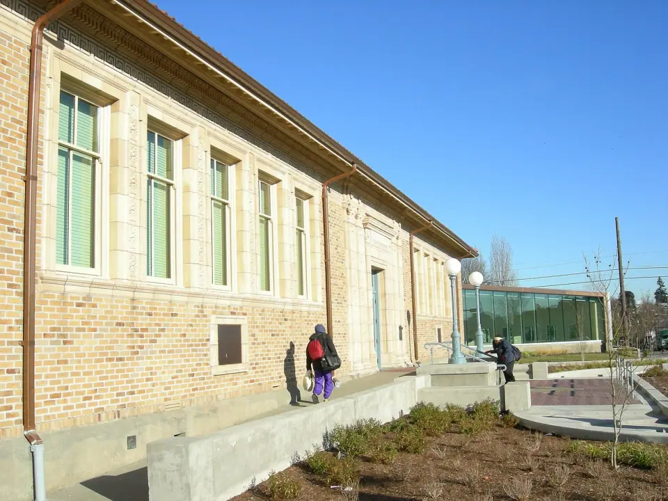
  • Douglass-Truth Branch of the library, a designated landmark, about 0.6 miles

To see how Frink Park compares with green spaces across the city, browse all parks in Seattle.