The Story Behind the Name
A 19th-century developer named the area for Chief Leschi of the Nisqually tribe. Territorial authorities executed him in Pierce County in 1858, after the conflicts of the mid-1850s that followed an 1854 treaty stripping Native peoples of their land.
Local legend holds that the ground now occupied by Leschi Park was once one of his campsites. Keep that story in mind as you walk the shoreline, because it gives the neighborhood's name real weight.
When Cable Cars and Ferries Came to the Lake
For more than half a century, a cable car line carried people from downtown to the lake. Cars ran along Yesler Way between Pioneer Square and Lake Washington, ending in Leschi, from September 27, 1888, until August 10, 1940.
The lakefront also had a ferry landing, which appears in city archive photographs from 1914. Between the cable line and the boats, this shore became a destination for people escaping the crowded city center.
Leschi Park, the Neighborhood's Front Lawn
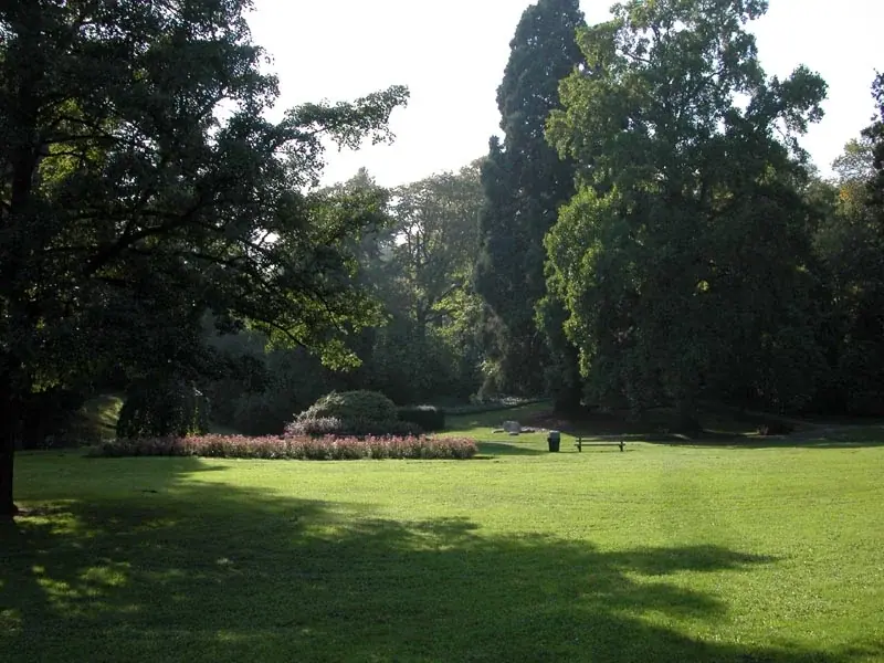
Spread out on the 18.5 acres of grassy hillside at Leschi Park, where the slope faces the lake. The site opened in 1889 as an amusement park at the end of the Lake Washington Cable Railway line, drawing visitors with a casino, gardens, boat rentals and a zoo.
The zoo animals went to the City in 1903, and the City bought the land itself in 1909. That made it one of Seattle's earliest public parks, and it is often remembered as the home of the city's first zoo.
What to Explore Today
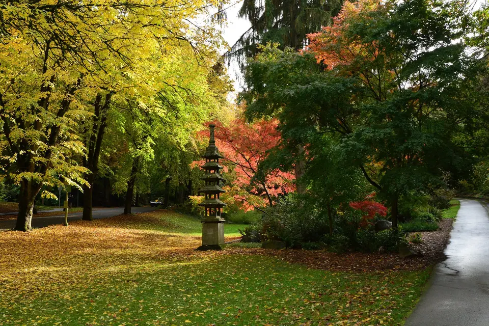
- Rolling lawns and gardens: stroll past well-kept grass, exotic trees and rose beds covering the slope.
- Winding paths: follow trails over the uneven ground up toward restrooms higher in the park.
- Tennis: take one path to the tennis courts.
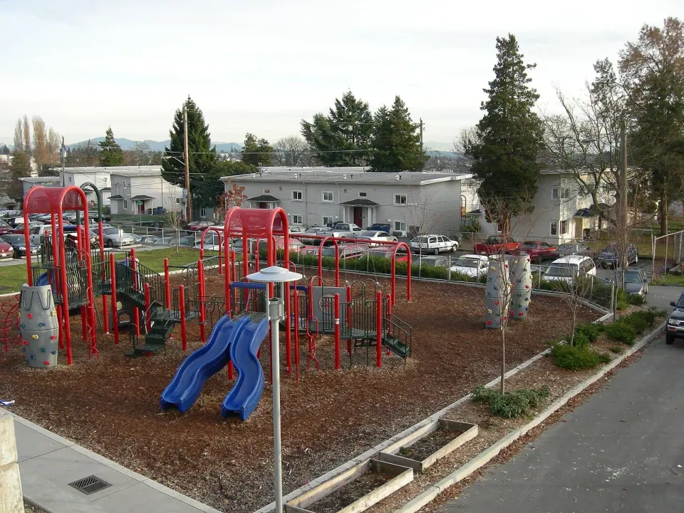
- Playground: climb another to a play area with slides and a sandbox.
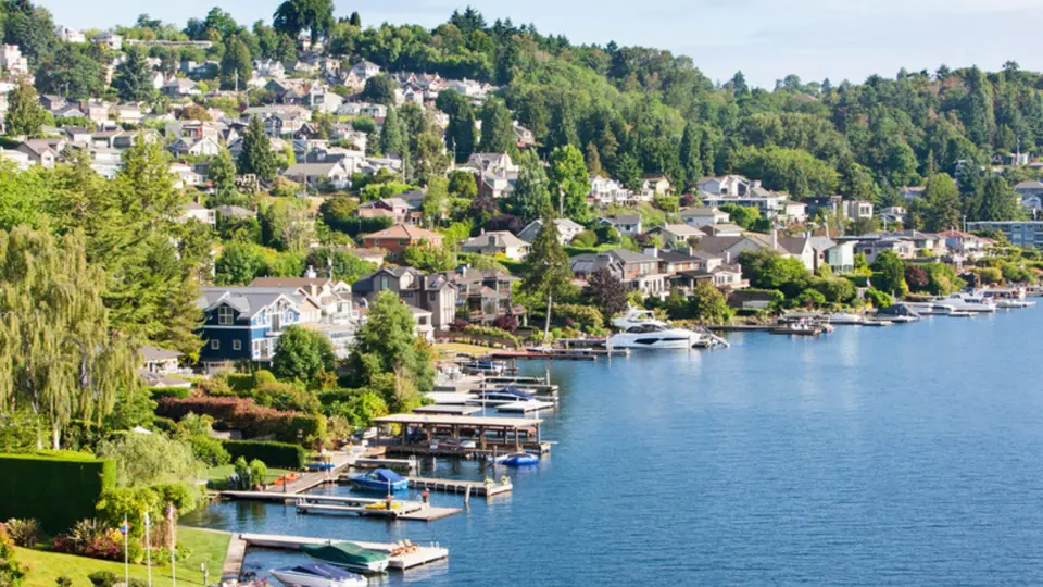
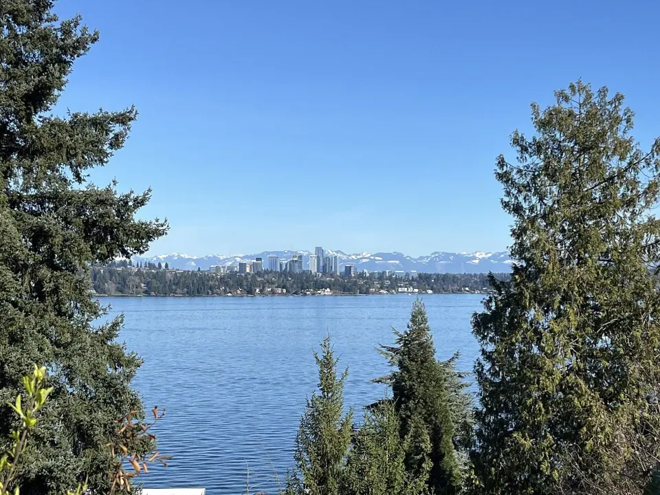
- Lake views: settle onto a grassy patch under willows on the east side of Lakeside S. and look out over rows of moored sailboats and a vintage ferry.
Frink Park and Its Olmsted Roots
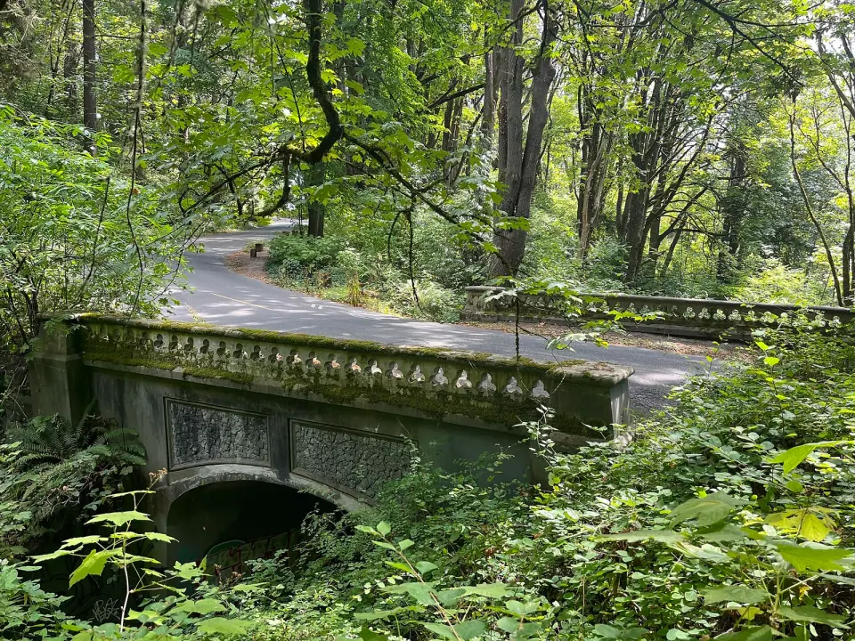
For a completely different mood, head into Frink Park, a steep, wooded ravine of 17.2 acres where Frink Creek flows down toward Lake Washington Boulevard. Residents have walked this forest since Seattle's early days, taking in views of mountains and water along the way.
The land was first set aside as a private park in 1883. Seattle parks commissioner John M. Frink and his wife Abbie H. Frink later bought the main portion and gave it to the City on October 25, 1906. The Olmsted firm planned the park, and in 2019 it joined the National Register of Historic Places.
The Parkway Linking Two Parks
In 1908 the City approved buying more land southeast of the original gift. Some parcels arrived as donations, while the City condemned several lots south of present-day Frink Boulevard to build a parkway tying Frink and Leschi parks together.
Today a volunteer group, Friends of Frink Park, works to protect the park's urban forest. The terrain is uneven and sloping, so lace up sturdy shoes before you set out.
Pocket Parks with Big Stories
Beyond the two headliners, small parks dot the neighborhood. Several honor local figures whose civic work shaped Leschi.
Flo Ware Park
Flo (Florasina) Ware, who lived from 1912 to 1981, was a Seattle activist who spoke up for children, older residents and people living in poverty. In 1982 a playfield at 28th and Jackson took her name.
A $540,000 renovation in 2002 added art installations that reflect her life's work. The Leschi Community Council has hosted free music events here in recent years, so check with the council for any current schedule.
Powell Barnett Park
This site began as a planned junior high location, then served as a running track and field for nearby Garfield High School. Once the school built a new playfield, the old track was dropped in 1962 and sold to the parks department in 1966.
Community members improved the playground in 1967 through the Central Area Motivation Program. In 1969 it was named for Powell Barnett, who devoted much of his energy to race relations and civic unity, and who founded the Leschi Improvement Council in 1958 and served as its first president. The park celebrated a major makeover on May 19, 2006.
The String of Pearls and Quieter Corners
Look for what locals call the "String of Pearls," a series of tiny parks where east-west streets meet the lake. Each one offers its own small patch of shoreline access.
Farther up the hill, the Leschi-Lake Dell Natural Area on E Terrace St is a Seattle Parks and Recreation property close to several other green spaces. Families can also check out Peppi's Playground on E Spruce St, which sits near other parks and a pair of historic houses.
Homes and Everyday Life
Housing here is notably mixed. Condominiums cluster near the lake, while the hillside holds restored bungalows and craftsman homes, Tudors, brick houses, contemporary designs and mid-century ramblers.
Because the streets curve uphill from the water, many homes catch at least a partial lake view, and grand houses from around 1900 stand near far more modest ones. Despite pricey waterfront properties, the neighborhood has long been home to residents of varied racial and economic backgrounds.
Planning Your Leschi Walk
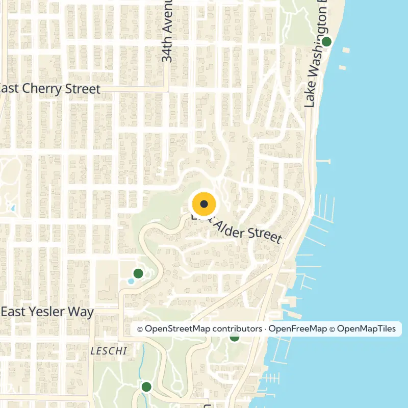
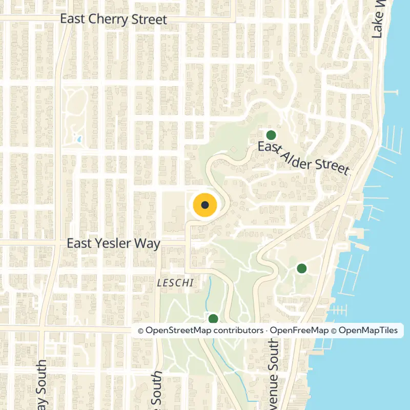
Start at the lakefront in Leschi Park, then climb through the parkway toward Frink Park's ravine. From there, let the smaller parks and residential streets reward an unhurried wander.
Park amenities and access can change, so check Seattle Parks and Recreation for current hours, closures and facility details before you go.