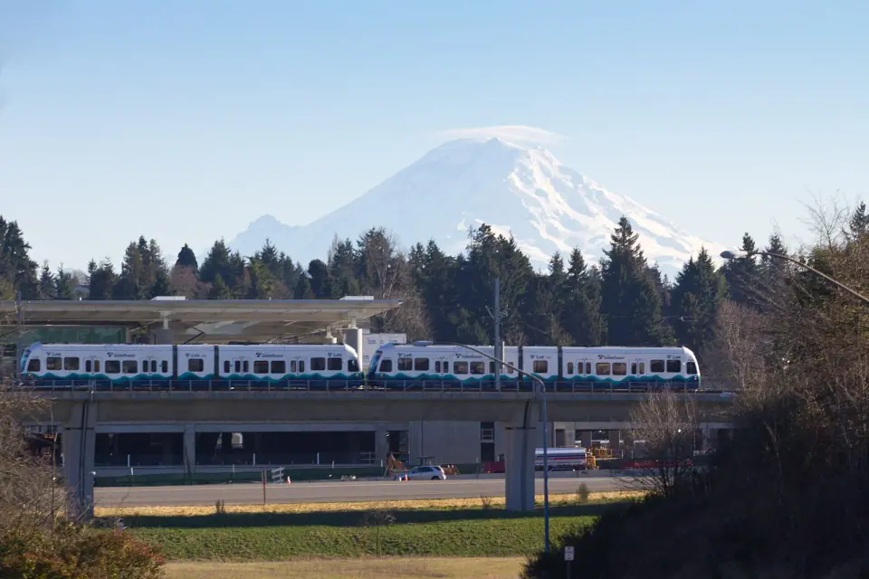
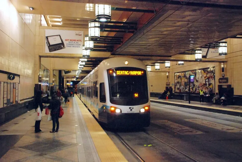
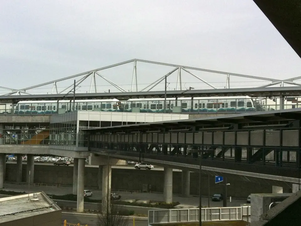
Picture the setting as you arrive: SeaTac rests on the Highline plateau, with Puget Sound to the west and the Duwamish and Green River valleys dropping away to the east. It is an inner-ring suburb of Seattle and part of the wider metro area.
So if you have ever wondered where the airport actually is, this is your answer. It lies south of Seattle, inside SeaTac's city limits, rather than within Seattle itself.
The Land Before the Runways
For thousands of years, Coast Salish peoples lived on the Highline ridge and the lowlands around it, with Duwamish and Muckleshoot people fishing, hunting and traveling overland through this country. Federal surveyors passing through in the 1850s noted salal and huckleberry spreading widely across the land.
Those plants are thought to reflect careful tending through burning and cultivation, which means this was managed land, not untouched wilderness. Keep that in mind as you look out over the airport today.
The Angle Lake canoes
In 1990 a diver came upon two dugout canoes resting on the floor of Angle Lake, and carbon dating placed them around 1678. Both the Muckleshoot and Duwamish tribes claimed them, and the canoes were ultimately entrusted to the Muckleshoot Tribe.
How an Airport Built a City
European American settlers reached the Highline area in the mid-1850s, and small farms took shape around Miller Creek and other streams on the plateau. A federal military road linking Fort Steilacoom and Fort Bellingham, finished in 1860, ran just east of present-day SeaTac.
In the early 1900s, the old High Line road carried much of the traffic between Seattle and Tacoma. You can still follow it today as Des Moines Memorial Drive, which cuts through the middle of SeaTac and Burien.
Wartime beginnings
World War II changed everything. After the military took over Boeing Field following Pearl Harbor, the Port of Seattle accepted a federal grant in March 1942 to build a civilian replacement, and the new airport was dedicated on October 31, 1944.
For the rest of the war, though, Army Air Forces crews mainly used it to stage B-29 bombers. Meanwhile, Riverton Heights and McMicken Heights tripled in size as workers arrived for jobs at Boeing plants and the airport.
The highway strip
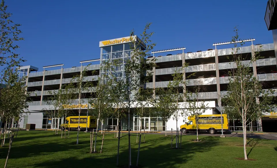
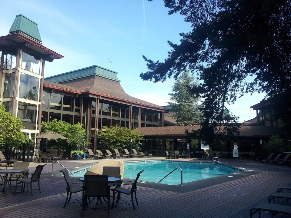
Once Interstate 5 opened in the 1960s, through traffic left Pacific Highway South behind, and the old route turned into a commercial corridor of motels, restaurants and services aimed at airport travelers. That cluster of businesses later gave the young city a tax base far larger than its population might suggest.
From noise buffer to park
Complaints about jet noise mounted through the 1960s and 1970s, and the Port and King County answered with the Sea-Tac Communities Plan of 1976. It was the first program in the country in which an airport operator bought nearby homes and schools to create a buffer, while soundproofing others.
The plan earned a national planning award in 1978. Head north of the airport to see one of its most interesting legacies: around 420 acres of cleared land that became North SeaTac Park.
Becoming a city
In the 1980s, residents pushed to incorporate, while a rival idea would have folded the area into Des Moines or another city. Voters chose incorporation on March 14, 1989, and the city became official on February 28, 1990. The ballot spelled it Sea-Tac, but the petition sent to the county dropped the hyphen, giving the city the name it carries today.
Meet the Communities Inside the City
SeaTac is stitched together from places that had their own identities first. Four stand out as you explore:
- Angle Lake, home to the lake where the historic canoes were found.
- Bow Lake, another established community that predates the city.
- McMicken Heights, which boomed with wartime workers and has a neighborhood park.
- Riverton Heights, which also grew rapidly during the war and still has its own post office.
Recent census estimates put the city at roughly 11,400 households, averaging a bit over two and a half people each, and the City of SeaTac highlights the many languages spoken here as a sign of its diverse population. To compare with areas closer to downtown, browse our guide to Seattle neighborhoods.
An Economy That Takes Flight
For a small city, SeaTac carries real economic weight. More than 900 licensed businesses operate here, nearly 80 of them Fortune 1000 companies, and together they employ close to 40,000 people.
Alaska Airlines and Horizon Air both keep their headquarters in SeaTac. Drive along International Boulevard, also known as Pacific Highway South, and you pass the operations of several international carriers, including Asiana, EVA Air, Hainan and China Airlines.
The $15 wage vote
SeaTac made national news in 2013, when voters narrowly approved Proposition 1, setting a $15 hourly minimum for many airport-related jobs at hotels, parking lots and car rental firms. After a court fight, the Washington Supreme Court ruled in August 2015 that the measure could be enforced at the airport as well.
Civic Life and What Comes Next
A seven-member elected council runs the city. Since 1990, SeaTac has contracted with the King County Sheriff's Office for policing, and deputies here wear city uniforms and drive city-marked cars. If you live here and want a say, follow the council's community conversations on public safety.
Fire service comes through the Puget Sound Regional Fire Authority, formed with Kent in 2014. The municipal court sits inside City Hall and handles traffic infractions, misdemeanors and protection orders, and you can learn about its community court program on the city site.
Projects to watch
Several efforts underway could reshape daily life in the city:
- IB-SAFE, aimed at making International Boulevard safer for walkers, riders and drivers.
- International Village, a planned central campus meant as a gathering place for the community.
- SeaTac Central, formerly called SeaTac Landing, planned as a walkable district.
- A new parks, recreation and open space plan, with public input invited.
Community events
The city hosts events that welcome visitors and residents alike. Past highlights include a regional photography exhibit with works for sale, a community resource fair at the SeaTac Community Center and a volunteer playground build at McMicken Heights Park. Since schedules change, check the City of SeaTac website for current events, dates and details.
Spend Some Time Beyond the Terminal
Most people pass through SeaTac on the way somewhere else, but give yourself a little extra time and the history starts to show, from Angle Lake to the old High Line road and North SeaTac Park. Then head north for more ideas in our guide to things to do in Seattle and our roundup of Seattle parks.