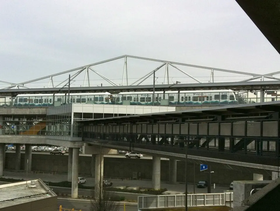
The Port of Seattle owns the airport. It is in the city of SeaTac, about 14 miles south of downtown Seattle. It is the busiest airport in the Pacific Northwest and set an all-time record of more than 52.7 million passengers in 2025. Plan for crowds at peak times, even though the layout itself is compact.
Where your airline is likely to be
SeaTac is the main hub for Alaska Airlines, and most of its flights leave from the C, D and N gates. Delta also runs a hub and international gateway here. Nearly every international carrier operates from the S gates or elsewhere on the south end. Gates do change, so always confirm yours on your boarding pass or the terminal screens.
Riding the SEA Underground trains
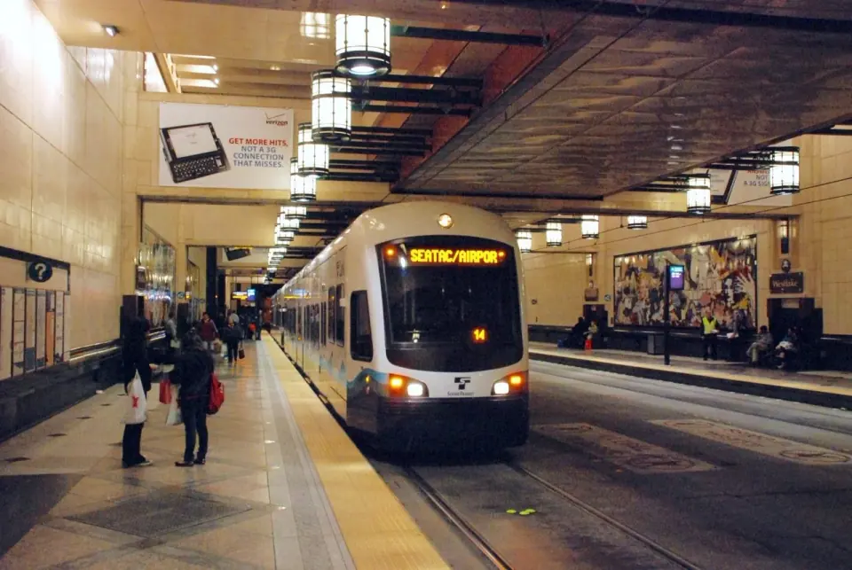
The train system is the backbone of the airport layout. Each loop has its own color, and onboard digital signs announce the current and next stop in eight languages: Arabic, Chinese, English, Japanese, Korean, Russian, Spanish and Vietnamese. The Port of Seattle publishes a guide to riding the SEA Underground with more detail on each loop.
Blue Loop: the south end
This loop serves the A, B and S concourses. The A station is opposite Gate A3, down the escalators. The B station is at the far end of that concourse, below Gates B20 and B21. The S station sits directly beneath the S gates.
Green Loop: the north end
This loop serves the C, D and N concourses. You will find the D station opposite Gate D2, down the escalators, and the C station down the escalators near Gate C11. The N station is beneath the N concourse. The C station was renovated recently and features a glass artwork called Cascadia. Other art pieces are installed at each station.
Yellow Loop: switching between ends
The Yellow Loop is a terminal shuttle that runs between the A station and the D station. Use it to move from the south loop to the north loop, or the other way. On the terminal map it is marked as the link between the two halves of the airport.
Connecting flights without rescreening
Once you are past security, all airlines and gates are connected airside. Arriving passengers heading to another flight do not need to go through TSA screening again. If both of your flights are on the same airline, your gates are usually fairly close together.
Even a change from one end to the other is quick, because the terminal is small. The Port says most trips take two to five minutes. If you get turned around, look for a Pathfinder in a green shirt. They are there to help travelers find their way.
Arriving from abroad: the International Arrivals Facility
A new International Arrivals Facility opened in 2022 as part of a larger expansion program. The terminal map shows passport control there and a route through the Gina Marie Lindsey Arrivals Hall. From there, signed exits lead to baggage claim and out toward Seattle.
Passengers continuing to another flight after clearing customs follow separate connecting flights signs. Because international carriers cluster on the south end, many arrivals start their trip at the S gates and ride the Blue Loop toward the main terminal.
Baggage claim, pickups and ground transportation
The map shows train exits from both satellite concourses feeding toward baggage claim on the lower level of the main terminal. An oversized baggage area is marked as well.
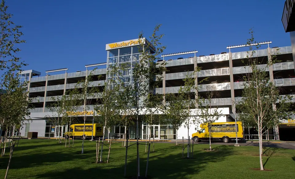
Many onward options are handled from the parking garage, spread across different levels. These include ride app pickups for Lyft, Uber and Wingz, plus taxis, limos, hotel courtesy vehicles, off-site parking shuttles, door-to-door vans and cruise or charter buses. A ground transportation information booth, the rental car shuttle and an overheight parking area also appear on the map. Check the official SEA terminal map overview (PDF) for the exact level and skybridge for your ride, since arrangements can change.
Amenities marked on the terminal map
The terminal map legend is worth a glance before you fly, especially with kids, pets or accessibility needs. Symbols mark the following:
- Nursing rooms and adult changing tables
- Pet relief areas
- Information booths and police
- Accessible load zones
- Bike racks and smoking areas
- Airline clubs and exits from secure areas
Food and shops
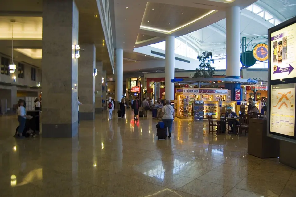
Dining and retail are spread through every concourse. The airport points travelers to ExploreSEA.org and the flySEA app for a full, current listing, which is more reliable than any printed map. The Port's older S gates directory map (PDF) shows the kind of services found on the international concourse. These include currency exchange and airline lounges near Gate S9. Confirm what is open before you count on it.
The free flySEA app, for iOS and Android, includes an interactive map that shows where you are in the terminal. The Port's website also offers an interactive map with step-by-step directions and estimated walking times to your gate. Both tools are handy for tight connections.
Have time to spare on a long layover or an early arrival? Browse our guides to things to do in Seattle and the city's neighborhoods to plan your time once you leave the airport.