The north end
Head north and the Ballard district gathers Loyal Heights, Whittier Heights, West Woodland and Ballard itself, which also goes by Adams. Right next door, the North Central district takes in Phinney Ridge, Fremont, Green Lake and Wallingford. Wallingford alone answers to several other names, including Meridian, Tangle Town and Northlake.
Farther east, the Northeast district spreads across Ravenna, Bryant, Laurelhurst, Sand Point, View Ridge, Windermere and Roosevelt. Some of these names line up with familiar landmarks: the atlas ties University Village to Ravenna and Hawthorne Hills to Windermere. The University of Washington campus claims its own spot in the University District.
Queen Anne, Cascade and Magnolia
Queen Anne divides into East, West, North and Lower Queen Anne. Lower Queen Anne also goes by Uptown or Seattle Center, which comes in handy when your directions use one name and your map shows another. The Cascade district holds South Lake Union, Westlake and Eastlake, while Magnolia includes areas such as Lawton Park and Briarcliff.
Why the Borders Never Quite Agree
With no official lines to follow, districts can overlap, carry several names or change names entirely. A Department of Neighborhoods spokeswoman once described watching her own area be called the CD, then Madrona, then Greater Madison Valley, then Madrona Park. Some parts of the city, like northwest Seattle, have no widely recognized name for the larger district at all.
Street signs versus archival maps
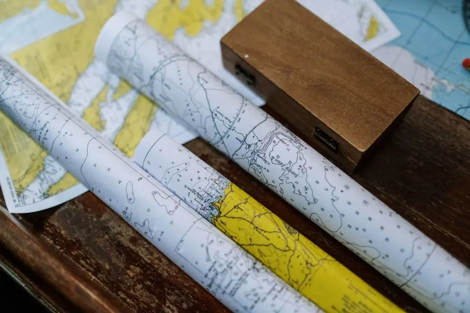
Keep an eye on the neighborhood boundary signs as you explore, since local community councils decided where they went. They often clash with printed maps. Signs mark Lake City Way NE as the southeastern edge of Maple Leaf, while the city clerk's archival map sets that neighborhood's southern edge at 85th Street.
Frelard and other blended zones
Stroll the stretch between 3rd and 8th Avenues NW and you are in what residents call Frelard, shared by Fremont and Ballard. On NW Leary Way, signs facing opposite directions show the overlap in plain sight. A similar blend happens around Woodland Park, a name sometimes given to East Phinney and West Meridian.
Where people say they live
Identity does not always follow the map. After a heated development fight in 1966, Wallingford residents asked the University of Washington Community Development Bureau to survey their area. The results showed that more people in southwest Wallingford saw themselves as part of Fremont than Wallingford.
What Drew the Lines
Hills, trolley stops and a timber boom
Early European settlers built scattered settlements on the surrounding hills, and those clusters grew into neighborhoods and even separate towns. Later growth gathered around trolley stops through the 19th and early 20th centuries. Seattle was founded during a timber boom, and its hasty expansion left loosely defined plats that still shape the city, along with a lasting side effect you may notice as you get around: tangled transportation and confusing street names.
Schools, libraries and parks as anchors
Elementary schools defined many neighborhoods, which often share a school's name. In the Central District, the Mann and Minor neighborhoods grew up around their schools, and in Wallingford, the Latona School dates to 1906. Library branches played a similar role, with community clubs lobbying for them, such as the Greenwood branch that opened in 1928 and the Lake City branch, which began in 1935 as a few shelves inside Lake City School.
Parks mattered too. Madrona Beach and Cowen and Ravenna Parks were set aside privately to encourage homes on land that was otherwise hard to use. The Olmsted parks plan shaped the character of neighborhoods around parks and playgrounds, something worth remembering as you browse Seattle's parks.
Arterials, transit and local improvement districts
Watch the busy streets on your map, because minor arterial roads usually run along neighborhood edges. Transit stations and business zones act as focal points for clusters of neighborhoods, much as trolley stops once did. Local improvement districts, where property owners share the cost of streets, sidewalks and stormwater systems, also let neighborhoods make their own choices about public space.
A Harder History Behind the Map
Some of Seattle's clearest neighborhood lines came from racially restrictive housing covenants, which became common in the 1920s and were upheld by the U.S. Supreme Court in the 1926 case Corrigan v. Buckley. Covenants appeared in Ballard, Beacon Hill, Broadmoor, Green Lake, Laurelhurst, Magnolia, Queen Anne and elsewhere.
As a result, Asian and Native American residents were largely confined to the International District and parts of southeast Seattle, while Black residents were concentrated in the Central District. The Supreme Court ended enforcement in 1948, and the Seattle Open Housing Ordinance took effect in 1968. The language still lingers on many property titles, because legal hurdles make it hard to remove.
How the City Is Organized Today
Seattle elected its council at large from 1910 to 2014. Today the City of Seattle has seven Council Districts, each with one member, plus two citywide members, and district boundaries are updated periodically with Census data so each holds roughly the same population. Check the city's neighborhoods and council districts page for an address lookup and lists of neighborhoods generally considered part of each district.
The city itself stresses that neighborhoods are personal ideas and that those lists are a starting point, not an authority. Neighborhood planning runs deep here as well: in 1999 the City Council finished approving 38 neighborhood plans shaped by nearly 20,000 community members.