Skip to content
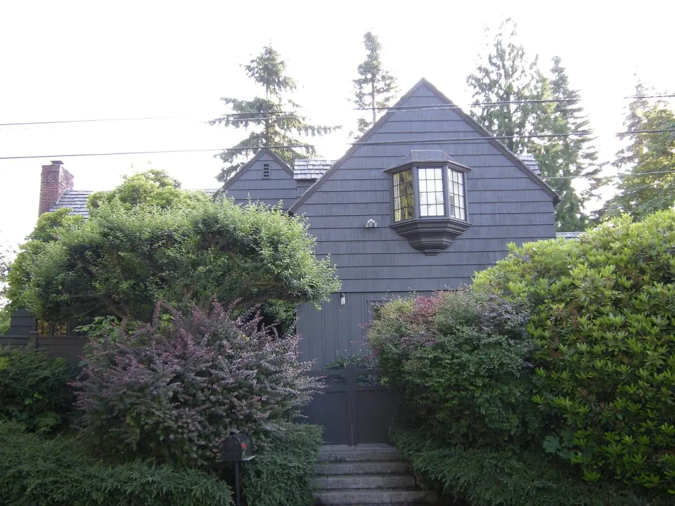
9017 Loyal Avenue NW, Loyal Heights, Ballard, Seattle

Loyal Heights

Wander the tidy grid of Loyal Heights, a north Ballard neighborhood that began as a 1906 streetcar suburb, and discover where it sits, how it got its name and where to find its parks.

Part ofBallardSeattle neighborhoods

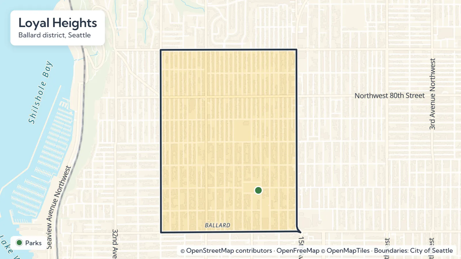
Map of Loyal Heights in Seattle showing 1 place we cover
Map of Loyal Heights Explore the interactive map
Parks, landmarks and markets

Places to go in Loyal Heights

Open in OpenStreetMap

Frequently asked questions

Yes. Loyal Heights is considered part of greater Ballard and sits just north of central Ballard.

It is bounded by NW 65th Street to the south, NW 86th Street to the north, 15th Avenue NW to the east and 28th Avenue NW to the west.

Founder Harry Whitney Treat named the neighborhood after his daughter, Loyal Graef Treat, when he established it in 1906.

Seattle annexed the city of Ballard, including Loyal Heights, in 1907.

Salmon Bay Park at 2001 NW Canoe Pl and Loyal Heights Playfield, which opened in 1941, are the neighborhood's city park sites. Check Seattle Parks and Recreation for current hours.

About Loyal Heights

Quiet residential streets, laid out along an old streetcar line, form a tidy grid across this northern corner of greater Ballard. Loyal Heights, Seattle, began as a planned streetcar suburb in 1906 and stretches from NW 65th Street up to NW 86th Street, between 15th and 28th Avenues NW. Come for the neighborhood parks, a city playfield and a long local history that still shapes its streets.

Finding Your Way Around

Clear edges on all four sides make the neighborhood easy to picture before you arrive. Cross NW 65th Street to the south and you are in central Ballard, while Sunset Hill sits just west past 28th Avenue NW.

Head north beyond NW 86th Street to reach North Beach and Blue Ridge, or cross 15th Avenue NW to the east into Whittier Heights. That compact footprint means you can explore comfortably on foot and fold Loyal Heights into a wider wander through the rest of Ballard.
Read the full Loyal Heights guide

The Story Behind the Name

Businessman Harry Whitney Treat founded Loyal Heights in 1906, when the area still belonged to Ballard, then an independent city. He named it after his daughter, Loyal Graef Treat, a personal touch that lives on in every street sign.

The land was laid out for homes once a new electric streetcar line arrived, run by the Loyal Railway Company to link the fresh lots with the wider area. Just a year later, in 1907, Seattle annexed Ballard, and Loyal Heights joined the city along with it.

A School and a Playfield

As families settled in, the city followed with public facilities. An elementary school opened here in 1932, and Loyal Heights Playfield arrived in 1941, where it remains a fixture of neighborhood life today.

Parks and Green Space

Spending time outdoors is one of the easiest ways to get a feel for the neighborhood, and two city sites anchor it.

  • Salmon Bay Park: Find this city park at 2001 NW Canoe Pl, a short walk from several other Ballard parks and local landmarks. Learn more in our guide to Salmon Bay Park.
  • Loyal Heights Playfield: Open since 1941, the neighborhood playfield gives the area its main space for organized play.

Before you go, check with Seattle Parks and Recreation for current park hours, field reservations and any program schedules, since details can change by season.

Plan Your Visit

Pair Loyal Heights with a day in central Ballard just to the south. Begin with a stroll through Salmon Bay Park, then wander the residential streets that grew up along the old streetcar line.

If you have questions about schools, contact Loyal Heights Elementary School or Seattle Public Schools directly for enrollment and visiting details.

A little farther

More neighborhoods nearby