A Name Born From a Mistake
Captain George Davidson of the U.S. Coast Survey named the wider peninsula in 1856, reportedly after spotting the abundant madrona trees on the bluff and mistaking them for magnolias. Local groups still work to protect the madronas that remain, so keep an eye out for their peeling red bark as you wander the edges of the headland.
Getting In and Out
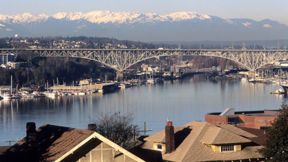
Part of Magnolia's tucked-away feel comes from its limited road access. Just three bridges cross the railroad tracks: W. Emerson Street in the north, W. Dravus Street in the middle and W. Garfield Street, better known as the Magnolia Bridge, in the south.
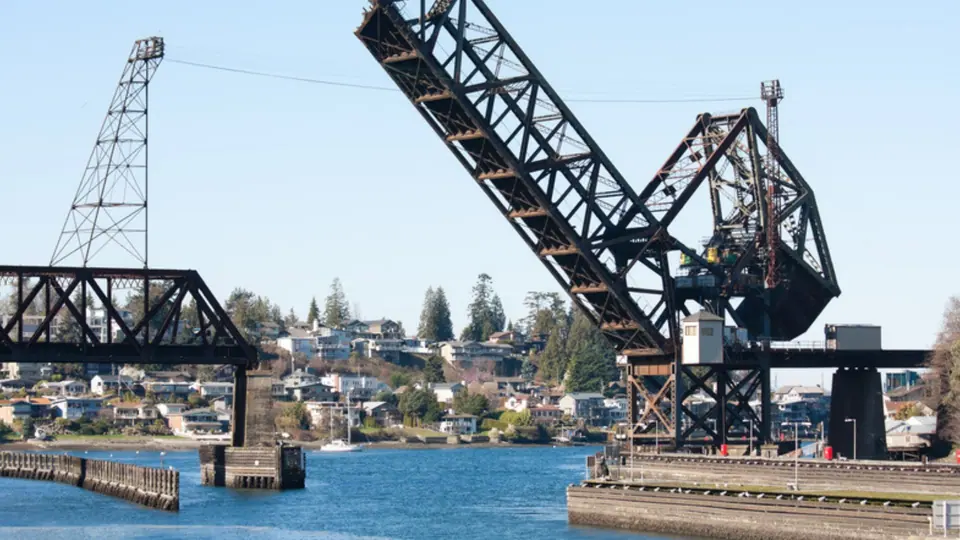
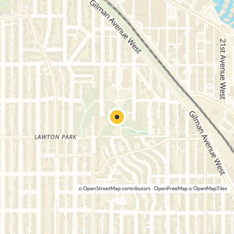
Head for the Emerson Street bridge, usually the most direct route into Lawton Park. Cars cannot cross the Hiram M. Chittenden Locks, and the rail bridge to Ballard carries no road traffic. The W. Fort Street bridge only reaches the W. Commodore Way industrial area, so drivers there still loop back through Emerson.
Discovery Park and the Fort Lawton Story
The neighborhood takes its name from Fort Lawton, a former U.S. Army post, and much of that land became Discovery Park, Seattle's largest park at 534 acres. Forest, meadow, bluff and beach all fit within its boundaries on the Puget Sound shore, so you can move through several landscapes in a single walk.
Traces of the fort remain easy to spot. Officers' homes and other historic buildings still stand within the park, though many of the houses are private residences today, so enjoy them from the road or path. City records also list the Fort Lawton Chapel among the area's places of note.
Trails, Bluffs and Mountain Views
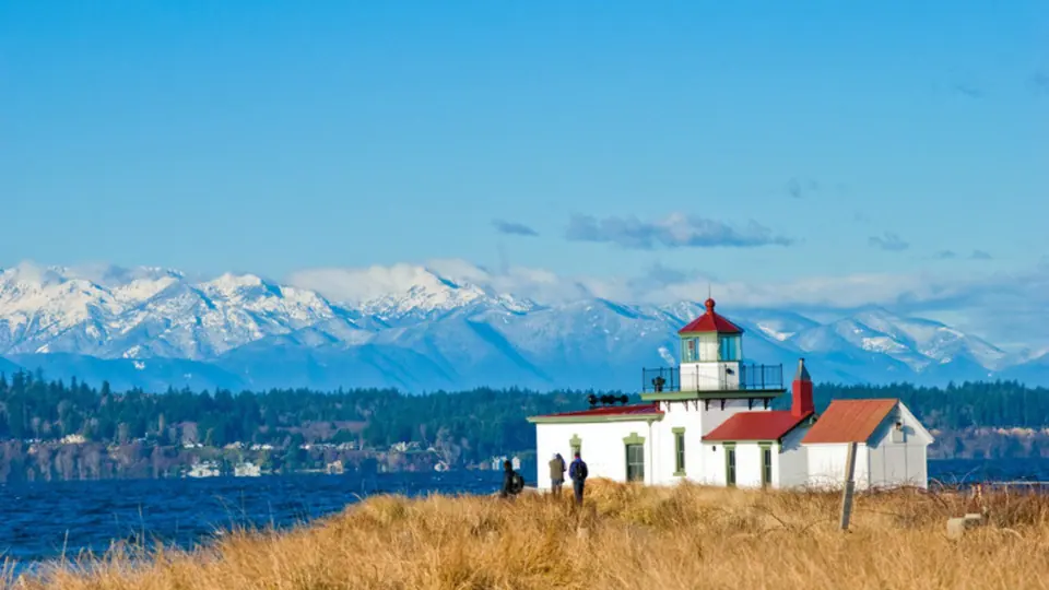
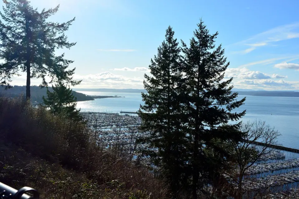
Lace up sturdy shoes and set out on about seven miles of trails that shift between wooded paths and open bluff tops. Along the way, catch views across Puget Sound to the Olympic Mountains.
West Point and Its Lighthouse
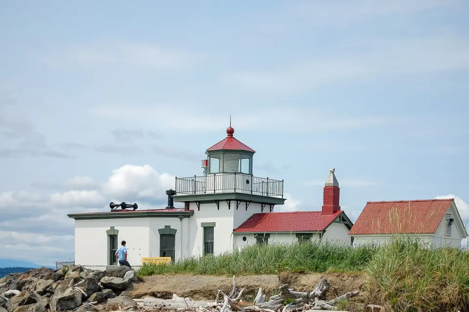
West Point marks the westernmost spot in Seattle, and walking trails drop from the park to roughly two miles of beach wrapping around the point. At the tip stands the West Point Lighthouse, built in 1881 and the oldest lighthouse in the area, still helping guide ships into Elliott Bay.
The point also holds several archaeological sites and one of Seattle's sewage treatment facilities. Save some energy if you hike down to the beach, because the climb back up is steep.
Neighborhood Parks Close to Home
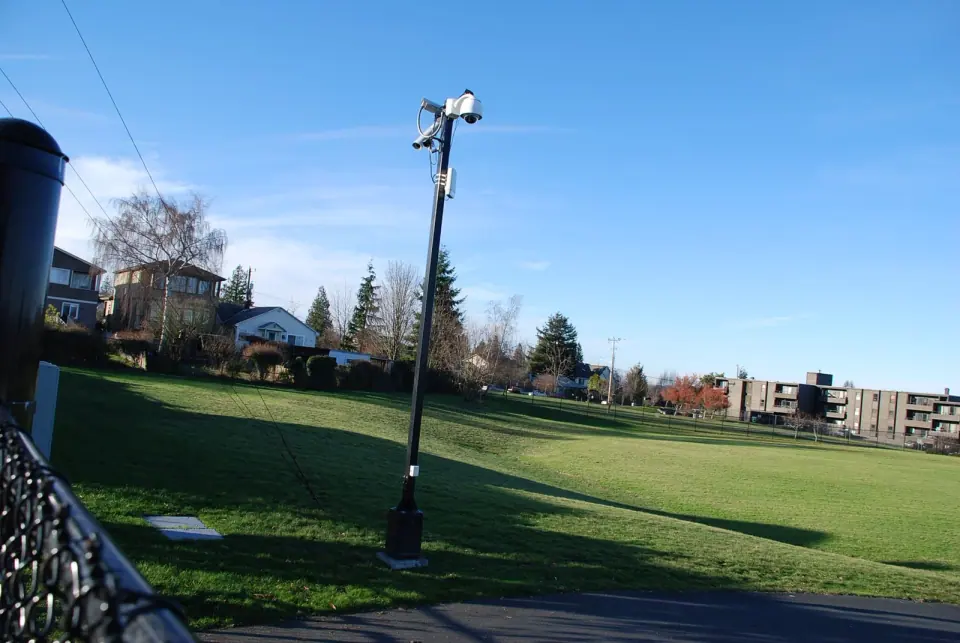
Beyond Discovery Park, you'll find quieter green spaces that locals use every day. Lawton Park, the city park at 4005 27th Ave W, shares the neighborhood's name, and a dog park, a community garden and the Magnolia Branch library all sit within about a mile of it.
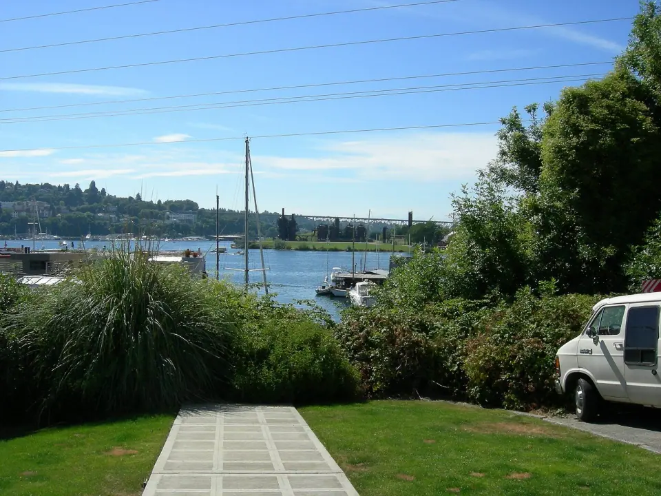
Stroll the north shore to Commodore Park beside the Ballard Locks, a waterside spot known for its heron habitat and canal views that pairs nicely with a visit to the locks themselves. City records also list Kiwanis Memorial Preserve Park and Magnolia Manor Park in the area; check Seattle Parks and Recreation for current details on those sites.
The Magnolia Branch Library
Stop by the Magnolia Branch of the Seattle Public Library even if you have no books to return. Architects Paul Hayden Kirk and Richard Haag designed it in 1964, and the building went on to earn top design awards from the American Library Association.
Step into the reading room to see solid walnut tables and chairs custom made by George Nakashima. In the children's section, look for a statue called Girl Holding Doves by Ebba Rapp McLauchlan. Outside, a bronze abstract wall sculpture by Glenn Alps, titled Activity of Thought, was created especially for the building.
Browse Magnolia's business district, which locals simply call the Village, for specialty shops, professional services and restaurants. Magnolia trees really do line W. McGraw Street here, a small, fitting nod to the peninsula's name.
Come on a summer Saturday and you can catch a farmers market in the Village. Check the market's official channels for the current season and hours, since these can change from year to year.
Local Schools
Families will find Lawton Elementary, which also carries the fort's name. Magnolia Elementary and Catharine Blaine K-8 serve the wider peninsula as part of Seattle Public Schools.
Planning Your Day in Lawton Park
Start with a morning walk on the Discovery Park trails, then make your way down to the beach and lighthouse at West Point. In the afternoon, head to Commodore Park to watch for herons, or drive to the Village for lunch and a look at the library.
- Arrive by the north: the Emerson Street bridge is the most direct road into this part of Magnolia.
- Respect private homes: many former Fort Lawton officers' houses are lived in today.
- Check before you go: confirm park and market details with Seattle Parks and Recreation and the market itself.