Exploring the U District
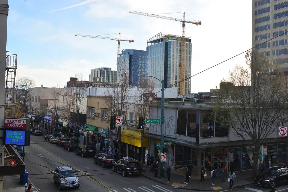
Take your time here, because this neighborhood rewards a slow walk. Many of its public places sit within a few blocks of each other, so a morning at the market can easily roll into a library stop and a loop past older buildings.
Spend Saturday at the farmers market
Plan your Saturday around the University District Farmers Market, the clearest reason to come on that day. City listings place it at NE 52nd Street and University Way NE every Saturday of the year, from 9 am to 2 pm, and it counts among the earliest farmers markets in Seattle. Hours can change, so check the official listing before you head over.
Visit a landmark branch library
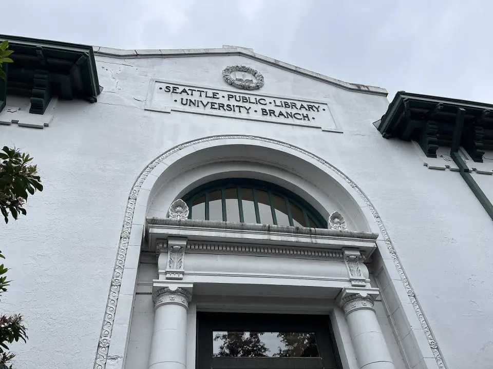
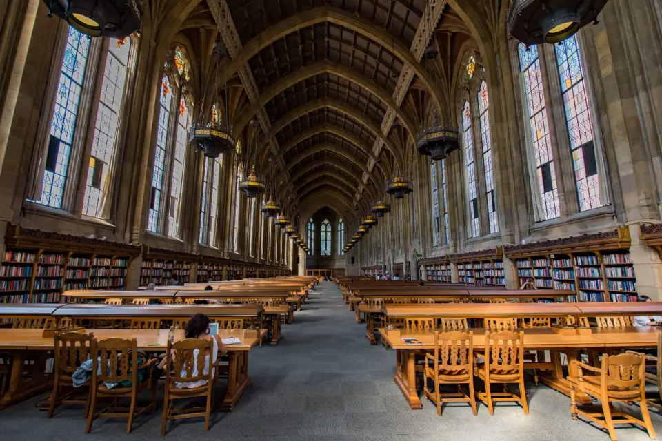
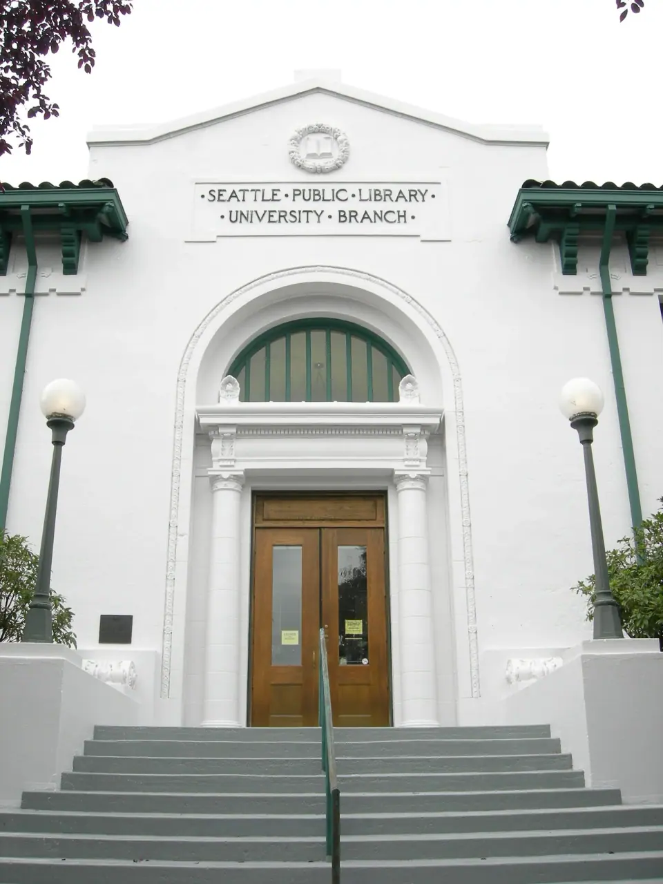
Stop by the University Branch of The Seattle Public Library on Roosevelt Way NE in University Heights, one of the oldest branches in the city system. The building has been an official city landmark since 2003 and shares the area with several other landmarks. For more on that designation, browse our page on the University Library landmark.
Library service here reaches back well before the landmark status. Local history records note that a public library was established in 1905, a few years after the Latona post office moved to the old University Station stop.
Pause in parks and green space
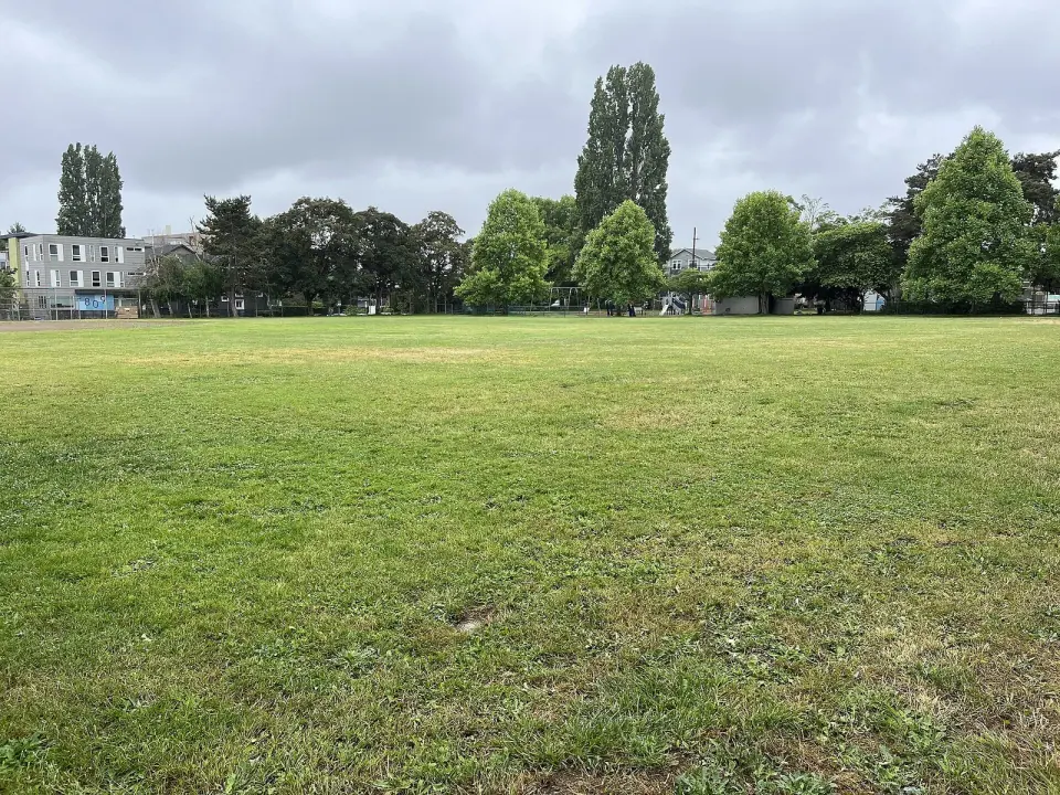
Catch your breath at University Playground, a city park on 9th Ave NE that sits a short walk from the branch library and a handful of landmarks. It makes an easy break between other stops. If you want more time outdoors, look up the smaller green spaces that city records list for the area, including Ravenna Woods, Christie Park, Northlake Park and Shiga's Garden.
Wander the community gardens
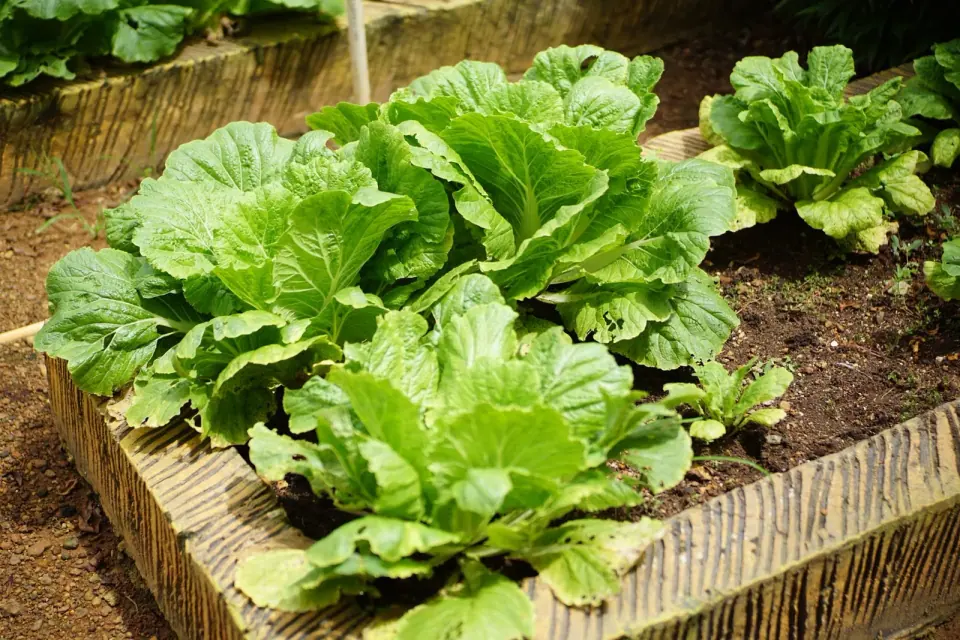
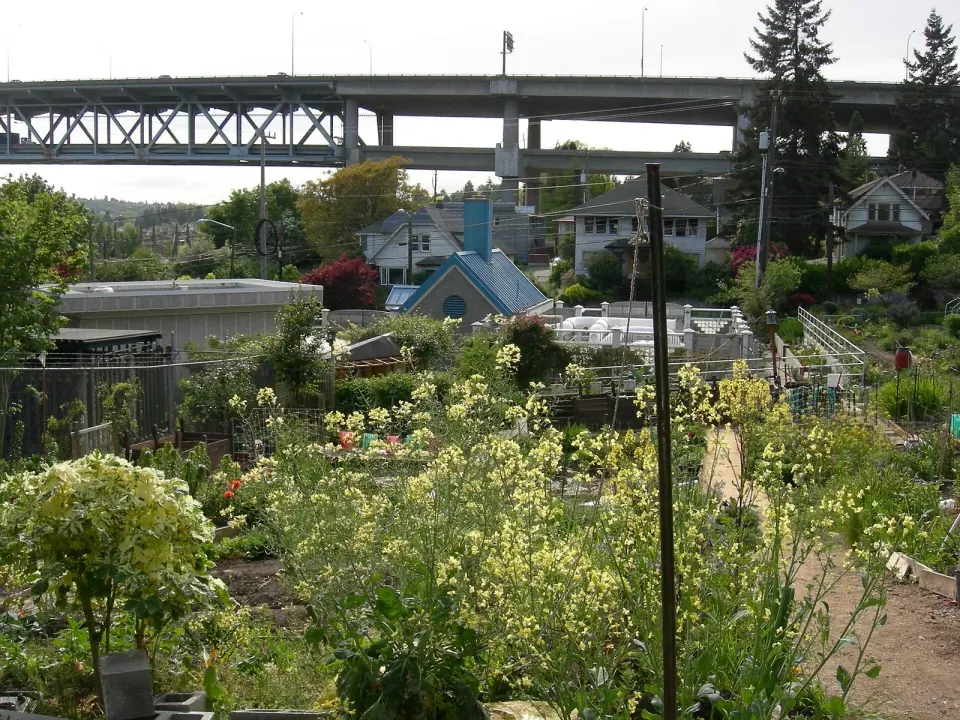
Three city P-Patch gardens show you the district's quieter, neighborly side. Each belongs to Seattle's community gardening program, and each brings its own scale and history.
- University District P-Patch: The largest and oldest of the three, at 8th Ave NE and NE 40th St, with 46 plots spread across 14,400 square feet since 1976. Read more in our University District P-Patch guide.
- Ravenna P-Patch: A compact garden of 18 plots at Ravenna Ave NE and NE 52nd St, part of the program since 1981.
- University Heights P-Patch: A 31-plot garden on University Way NE at NE 50th St, in the program since 1991. Find more on our University Heights garden page.
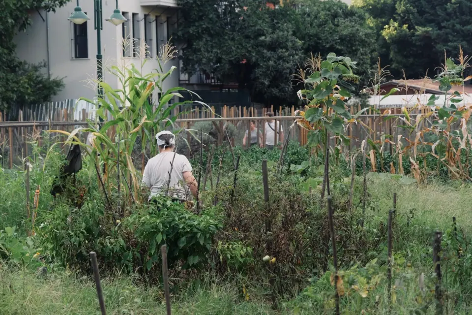
Plot holders tend these working gardens, so enjoy them the way you would a neighbor's yard.
From Brooklyn to the University District
A little history helps you read the streets as you walk. Several names on the signs, such as Brooklyn Avenue, are traces of earlier eras.
Duwamish villages and trails
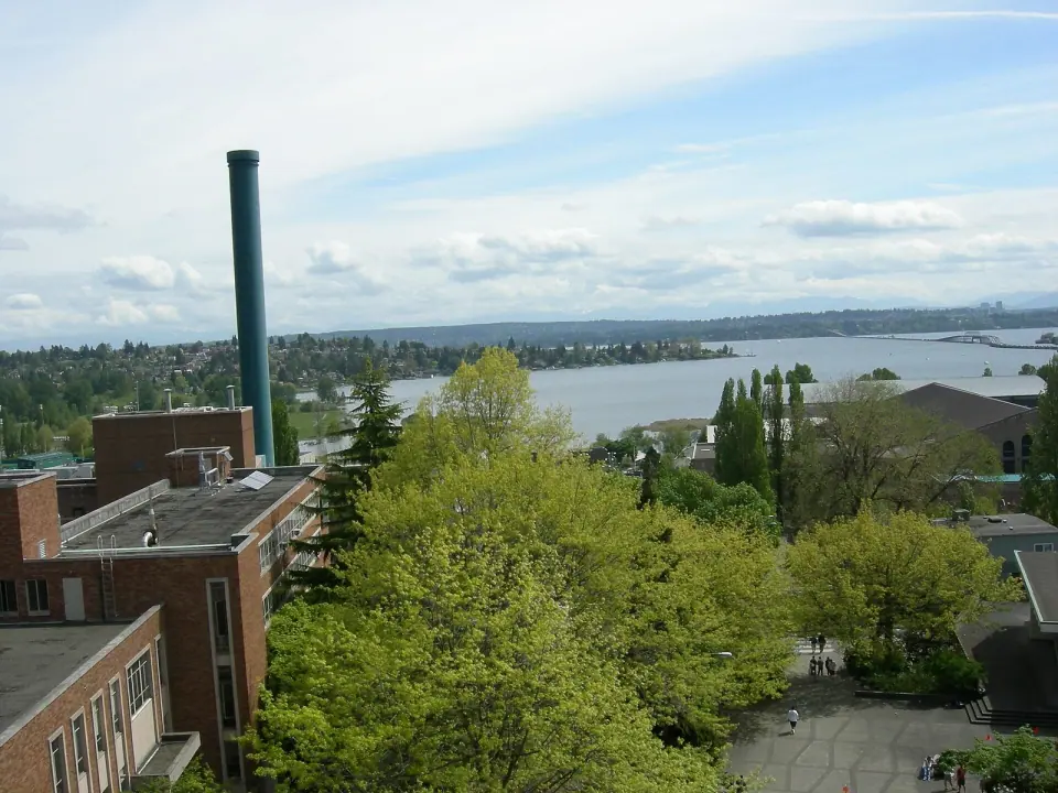
People have lived north of Portage Bay since the end of the last glaciation, roughly 16,000 years ago. The most recent Native settlements here were Duwamish villages of the Lushootseed-speaking Coast Salish peoples. One village on Portage Bay was called wəq̓iq̓əb, meaning place of frogs, and the people of this area were known as xacuabš, or people of the big lake.
Trails once connected village sites with waterways and with areas cleared by fire to encourage hunting and plant growth. Early surveyors recorded one trail running from Portage Bay to Lake Washington, though no physical remnants of that Native use survive in the district today.
Settlers, streetcars and a new name
The territorial government surveyed the land in 1855, and Christian and Harriet Brownfield, the first white settlers, claimed a homestead in 1867. In the 1890s, developer James A. Moore and partners laid out the Brooklyn Addition west of today's campus, and Seattle annexed the area in 1891.
Electric streetcars began running on what was then Columbus Avenue around 1891 or 1892. A heated waiting house near today's NE 42nd Street gave rise to the name University Station. When the university moved here from downtown in 1895, the Brooklyn name slowly slipped away.
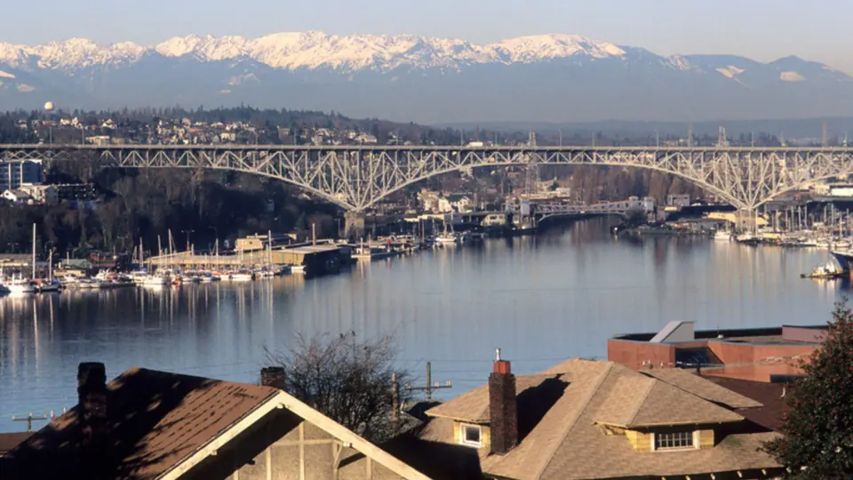
In 1919, ahead of the University Bridge opening, a local business club held a contest that renamed 14th Avenue as University Way. The club also lobbied to rename the neighborhood, and that May the city council adopted the University District name. One idea that lost out was UniverCity.
From rail line to trail
Coal from the Newcastle area once crossed Lake Washington to Union Bay. The Seattle Lake Shore and Eastern Railway was built around 1888, and today its old route forms the Burke-Gilman Trail, a major path for bike commuting and recreation across North Seattle.
Campus growth and a changing commercial scene
The 1920s brought a building boom. Architect Carl F. Gould led a campus overhaul in the Collegiate Gothic style, replacing buildings left over from the 1909 Alaska-Yukon-Pacific Exposition. Off campus came new apartments, two movie theaters, department stores and the University Book Store, while Greek Row grew along 17th Avenue NE to 41 houses by 1941.
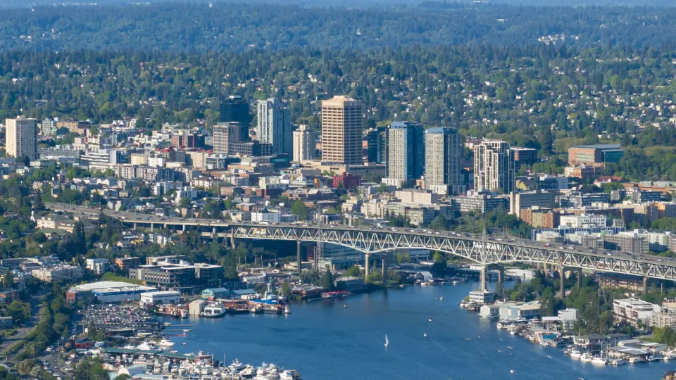
After World War II, rising enrollment pushed the campus past 15th Avenue NE, and a South Campus expansion on former industrial land ran from 1960 to about 1970. Northgate Mall and University Village opened in the 1950s and drew major retailers away, and the 1960s added Interstate 5 and the Ship Canal Bridge.