The Arboretum Foundation, a nonprofit, rounds out the trio. Stop by the current visitor center, which opened in 1985 to mark the foundation's 50th anniversary and replaced some older maintenance buildings from the Depression era.
Azalea Way is the arboretum's best known stretch, and it reaches its peak in spring, when azaleas in many colors line the path. The route has an unusual past. It began as a speedway for horse racing, built in the early 1900s, and became a walking path once the arboretum took shape.
Groomed and open, Azalea Way feels different from the arboretum's shadier, densely canopied sections. Come for an easy stroll, or bring a camera or sketchbook, since photographers and artists are drawn here by the color. From there, wander on to Rhododendron Glen and the Woodland Garden, two other named areas within the grounds.
Visit the Seattle Japanese Garden
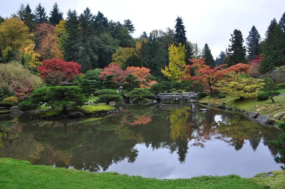
Head to the southern end of the park on Lake Washington Boulevard East, close to the Washington Park Playfield, to find the Seattle Japanese Garden. Its 3.5 acres opened in June 1960, placing it among the oldest Japanese gardens in North America, and it is widely considered one of the most authentic in the country.
The garden's first teahouse was lost to arson in April 1973, and a new teahouse opened in March 1981. If you want another Japanese-style landscape in the city, pair your visit with Kubota Garden.
Follow Arboretum Creek to the Union Bay Shore
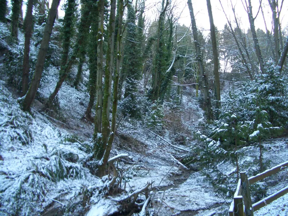
Arboretum Creek is a modest stream, roughly 4 feet wide and 2 feet deep on average, and it runs about 4,000 feet without ever leaving the park. It begins as a spring-fed stream in the Alder Creek Natural Area, on 26th Ave East between East Helen and Prospect streets. Along the way it supplies the koi pond in the Japanese Garden and collects runoff from Rhododendron Glen and the Woodland Garden.
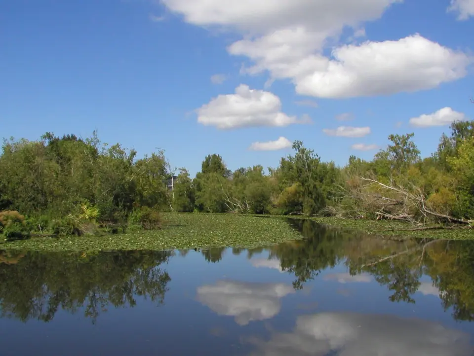
The creek then slips through a series of culverts beneath Lake Washington Boulevard. It finally reaches Lake Washington at Willow Bay, a small arm of Union Bay at the park's north end.
Walking in from the north
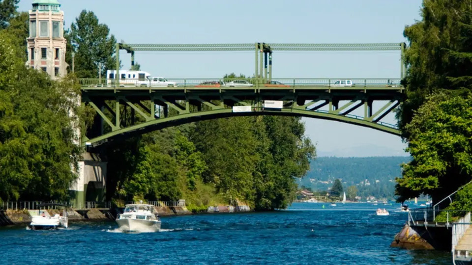
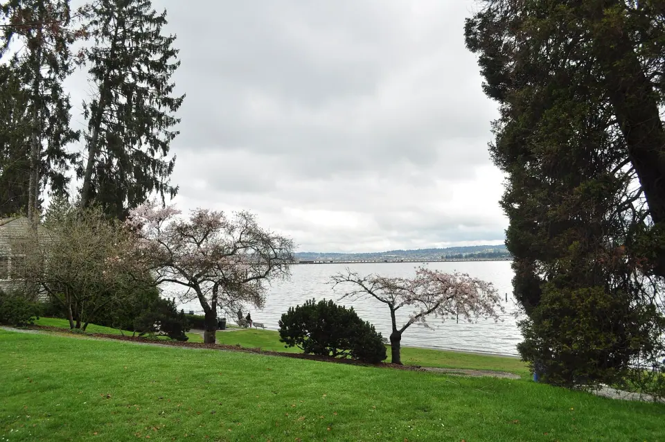
To arrive on foot from the water side, start at the northern edge, where State Route 520 crosses Foster Island and the Union Bay wetlands. A footpath threads beneath the highway overpasses, crosses boardwalks and follows the Lake Washington ship canal before leading you into the gardens. The 520 bridge replacement project added a pedestrian undercrossing on Foster Island, along with a multiuse trail linking East Madison Street with Montlake and the University District.
From Sxwacugwit to a City Park
Long before the arboretum, this land was home to the Duwamish people. They called it Sxwacugwit, meaning portage or narrow passage, because it connected the coast with the rivers and lakes inland. The Duwamish village of Slalal stood east of where Arboretum Creek meets the water, and in 1855 the Treaty of Point Elliott opened the area to white settlement.
Fred Drew, a timber surveyor for the Puget Mill Company, later bought the land from the federal government. The old-growth forest was cut in the 1880s and 1890s, and development plans stalled during the Panic of 1893. In 1900 the Seattle Parks Commission bought the property and hired the Olmsted Brothers to design the park, and Lake Washington Boulevard followed in 1903.
The 1920 split and the WPA years
The parcel was divided in 1920. The eastern 200 acres became the Broadmoor Golf Club, which still borders the park on the east, while the western 230 acres went to the city for a park and arboretum.
During the Great Depression, Works Progress Administration crews did much of the early work, clearing land, laying drainage, building fences and park buildings, and planting. Eleanor Roosevelt came in 1938 and planted an elm tree.
The Ramps to Nowhere and the Freeway Revolt
The arboretum also holds a piece of Seattle's civic history. In 1962, highway ramps were built in the marshes here for the planned R. H. Thomson Expressway, which would have cut through the arboretum on its way toward the I-90 and I-5 interchange. Residents organized against the plan, staging a protest on May 4, 1969, and the project was dropped in 1971.
One ramp went into service as the eastbound on-ramp to SR 520 from Lake Washington Boulevard. The others sat unused for decades, earning the local name the ramps to nowhere, and in 2014 an art collective wrapped two support columns in reflective acrylic for an installation titled Gate to Nowhere.
Removal started in spring 2016 under the 520 bridge replacement project, most ramps were gone by 2017, and the last section came down in 2024. Look for the single support of four columns and a beam, left standing as a monument to the ramps and the revolt that stopped the expressway.
Getting Around the Arboretum
Lake Washington Boulevard E. runs north to south through the park, alongside the creek. Arboretum Drive E. follows the eastern edge, becoming E. Foster Island Road for a short northern stretch, while E. Interlaken Boulevard and Boyer Avenue E. head northwest toward Montlake. Before you go, check the official arboretum website for current hours, programs and visitor details.
Landmarks a Short Walk Away
Extend your outing to several historic sites close to the Washington Park Arboretum:
- Arboretum Aqueduct, about 0.2 miles
- Boyer/Lambert House, about 0.3 miles
- McGilvra Elementary School and Montlake School, both about 0.5 miles
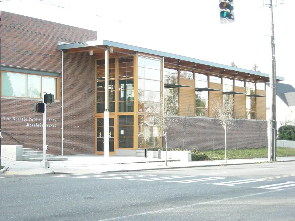
- Montlake Branch library, about 0.5 miles
- Samuel Hyde House and Lambert Place park, both about 0.6 miles
For more green space on the same side of town, spend an afternoon at Volunteer Park, another classic, or browse the full list of Seattle parks for the rest.