Getting Through the Corridor
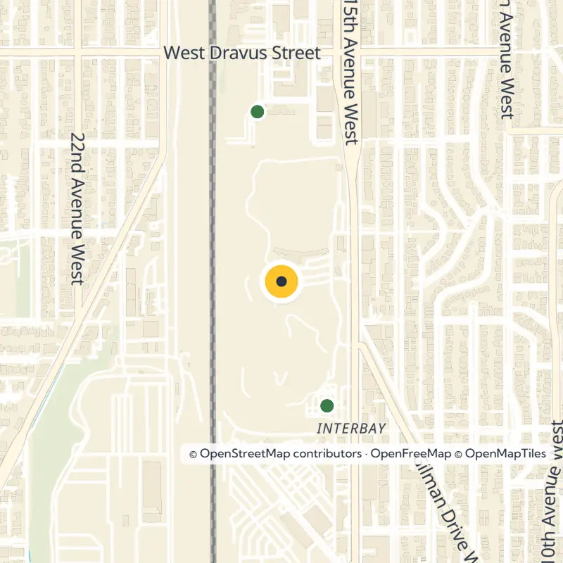
Two big roads carry most of the traffic through the valley. Follow 15th Avenue W north and south, or take Elliott Avenue W as it angles northwest and southeast toward downtown. Cross the Ballard Bridge at the north end to reach Ballard on the other side of the ship canal.
Hop on the RapidRide D Line, which has run along 15th Avenue W since 2012, if you would rather leave the car behind. A future Link light rail extension to Ballard is planned to follow the Interbay corridor, so expect this stretch to keep evolving in the coming years. Check King County Metro and Sound Transit for current service before you go.
A Valley Shaped by Trains and Ships
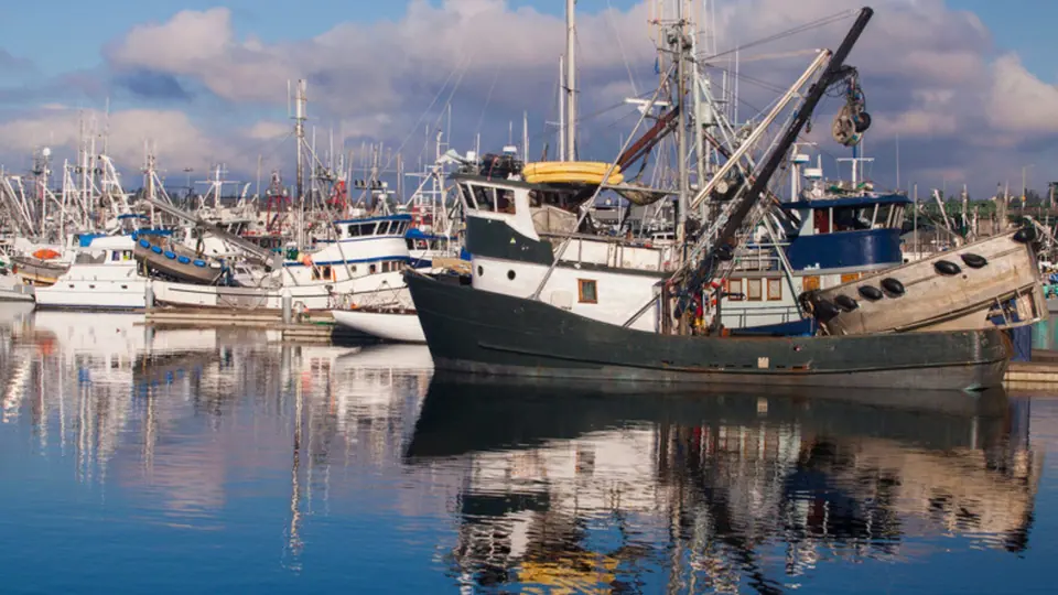
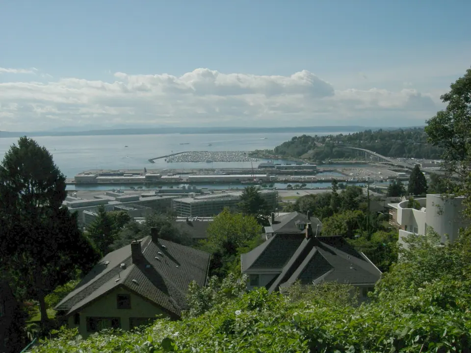
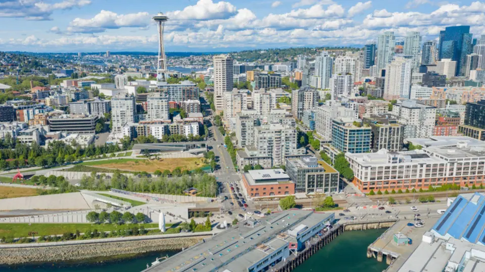
Industry is the first thing you will notice here, and it explains nearly everything about how the area looks. BNSF Railway's Balmer Yard and its locomotive shops fill a large share of the valley. Head to the north end for the Port of Seattle's Fishermen's Terminal on Salmon Bay, and to the south end for Piers 86, 90 and 91 on Smith Cove.
From Farm Claim to Rail Town
The Denny Party looked over this land in 1852 but chose to settle farther south, where downtown Seattle grew. Much of Interbay then passed to Henry A. Smith, an Ohio-born doctor and poet, and to Erasmus M. Smithers, who later founded Renton. Smith steadily expanded his holdings from Salmon Bay down to the cove that still carries his name.
Smith farmed, treated patients and wrote, and he is best known for an 1880s English version of a speech attributed to Chief Seattle, though historians have long questioned how faithful that translation is. He also laid out a settlement called Boulevard along a street he named Grand Boulevard, which you can walk today as West Dravus Street.
In 1884 a railroad bought nearly all of Smith's land and built a north and south line through the valley. A stop on Grand Boulevard helped a blue-collar village take root. Seattle annexed the area in 1891, and by 1894 the post office had traded the name Boulevard for Interbay.
A Gateway to Asia
James J. Hill's Great Northern Railway later took control of the rail route and built a major depot and docks at Smith Cove. In 1896 the Japanese line Nippon Yusen Kaisha made the cove its American port for the first regular steamship service between Asia and the Pacific Coast. That trade carried on until 1934, when violence during the Maritime Strike pushed it south to Los Angeles.
Digging the ship canal between 1911 and 1916 produced enough fill to cover about 150 acres of Smith Cove tidelands. The young Port of Seattle built Fishermen's Terminal and turned the old railroad docks into coal and lumber piers, the ones you know today as Piers 90 and 91. Factories followed, including a rope maker, a paint company and a vinegar works, staffed by Finnish, Polish, Russian, German, Austrian and Scottish workers.
Depression and Navy Years
During the Great Depression, one of Seattle's Hoovervilles stood in Interbay. From 1941 into the early 1970s, the Navy ran a supply depot at Smith Cove before the site returned to civilian port use. Look for a few surviving buildings from that era, most famously Quarters A, known as the Admiral's House, on the southwest edge of Magnolia above Piers 90 and 91. It is privately owned today and serves as an event venue.
Crossing Over the Tracks
Because rail lines have split the valley since the 1880s, getting across Interbay has always meant going over something. Over the years a string of bridges and wooden trestles linked Queen Anne to Magnolia, beginning at Grand Boulevard, where a trolley trestle once ran toward Fort Lawton.
Today you can cross on the Magnolia Bridge over the old Smith Cove tideflats, the West Dravus trestle, or a flyover from Nickerson Street near the south end of the Ballard Bridge. The old crossing at Wheeler Street, just south of the golf course, is gone, so plan your route with that in mind if you are heading to Magnolia on foot or by bike.
Parks, Gardens and Open Space
For all its industry, Interbay offers a surprising amount of room to stretch out. Most of the green space lines 15th Avenue W or hugs the shoreline at Smith Cove.
Walk the Waterfront Trail
Pick up the walking and biking path at the Central Waterfront near Belltown and follow it north through Myrtle Edwards Park on Elliott Bay. This slim 4.8-acre ribbon of shoreline offers a 1.25-mile path, good birdwatching and the yearly Seattle Hempfest. From there the trail threads past the piers around Smith Cove and follows the west side of the tracks, ending on 20th Avenue W about three blocks south of Dravus.
Pause at Smith Cove
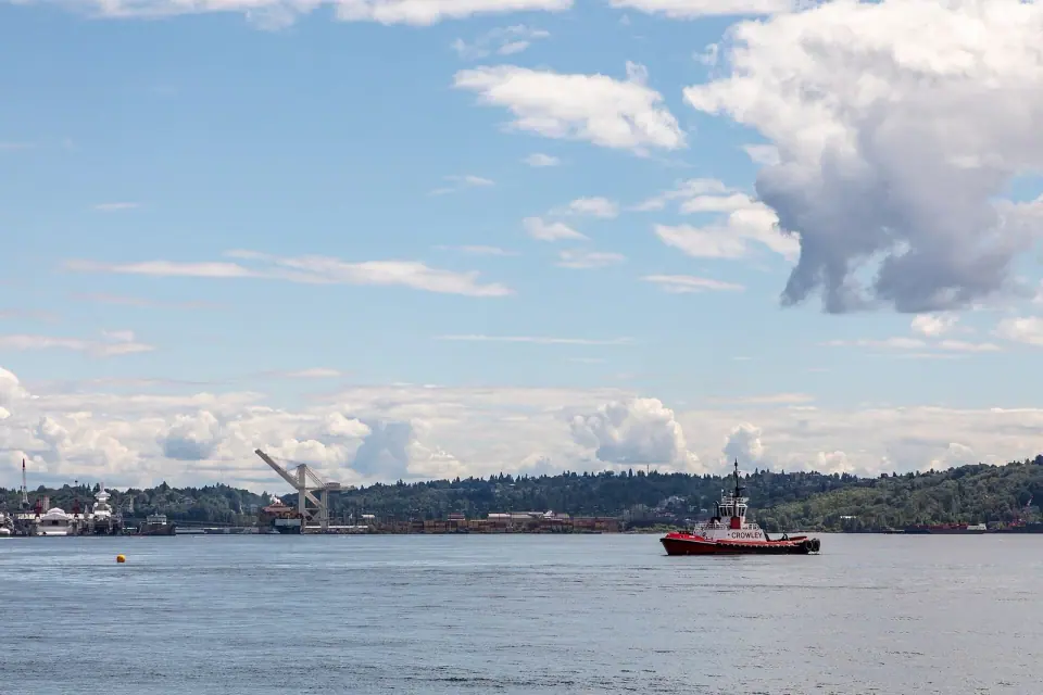
Stop at Smith Cove park on 23rd Avenue West, run by Seattle Parks and Recreation and named for the northern arm of Elliott Bay. It is a natural place to take in the view and connect it with the long story of settlement, railroads, shipping and the Navy that shaped this shore.
Golf, Sports Fields and a Big Garden
Head to the Interbay Golf site at 2501 15th Ave W, a city park property set on the valley floor with ball fields, a garden and historic homes nearby. Check with the operator directly for current tee times, rates and hours, since these can change.
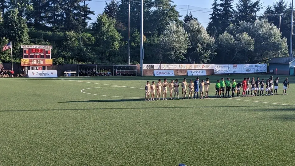
A short walk away, the Interbay Athletic Complex on 17th Ave W provides playing fields for local teams. Interbay Stadium rounds out the neighborhood's sports footprint.
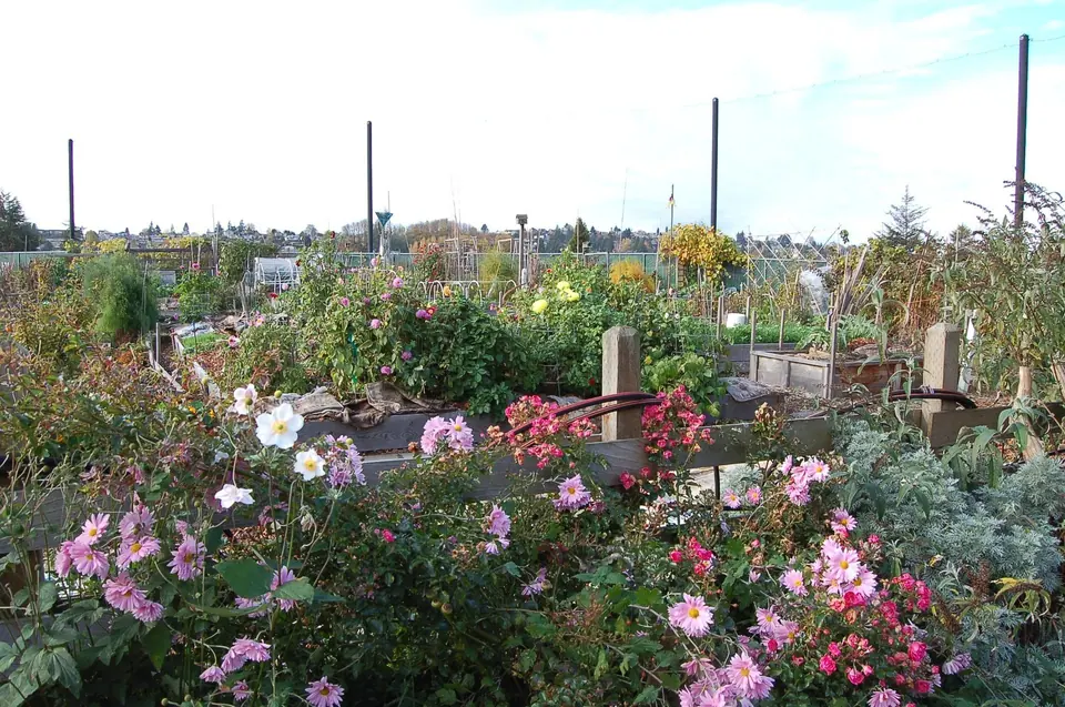
Gardeners will want to know the Interbay P-Patch community garden at 15th Ave W and W Wheeler St. This City of Seattle garden spreads across roughly 43,000 square feet with 132 plots, and people have been growing food here since 1974. Sign up for a plot through the City's P-Patch program.
Hillside Detours
Along the edges of the valley, seek out smaller spots worth a detour, including Thorndyke Park, the Ursula Judkins Viewpoint, the Magnolia Greenbelt and Magnolia Tidelands Park. Keep an eye out, too, for the historic Seattle Post-Intelligencer Globe sign, part of the local landscape.
Landmarks and Everyday Life
Near Smith Cove, five late 1800s houses known as the Fourteenth Avenue West Group hold official city landmark status. They offer a rare glimpse of the neighborhood before heavy industry arrived.
Stroll 15th Avenue W and you will pass a mix of warehouses, wholesalers, shops, some offices and a little housing, along with a Washington Army National Guard armory. For a meal or errands, head to the small commercial strip on West Dravus Street, the old Grand Boulevard, which serves as the neighborhood's main gathering spot.
Big employers have reshaped the south end as well. Expedia bought the former Amgen campus on Elliott Avenue in 2015 and moved its headquarters there from Bellevue, and a transit center serving the complex opened in 2019.