Crossing the valley
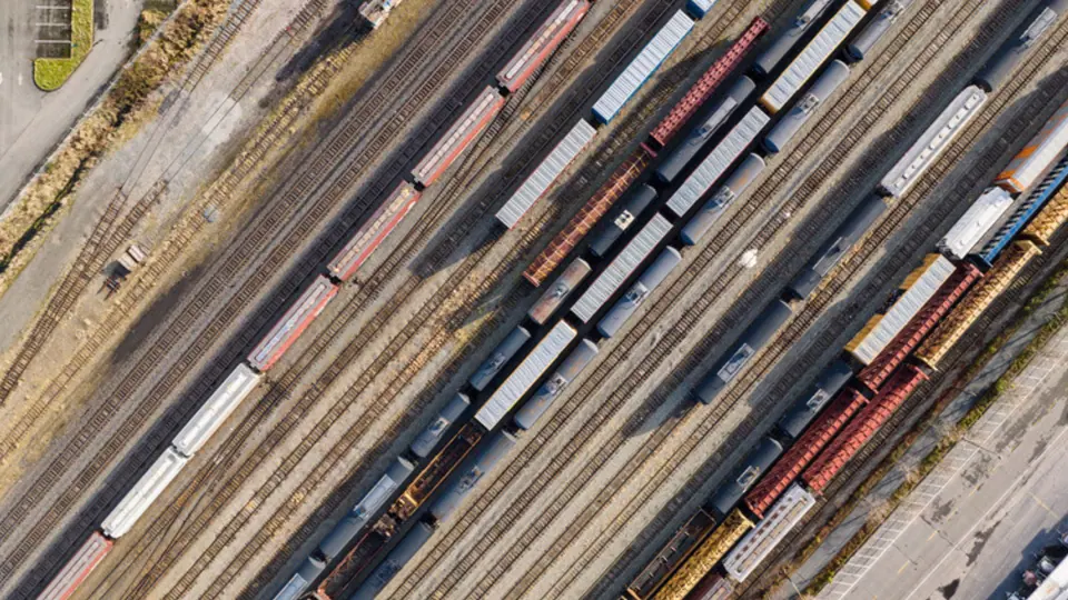
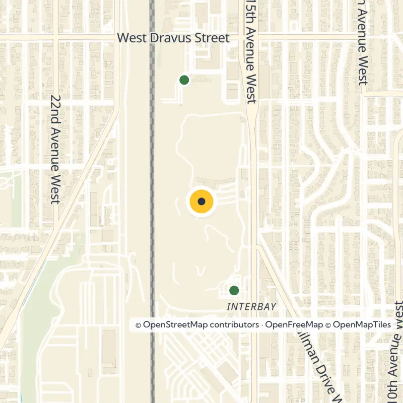
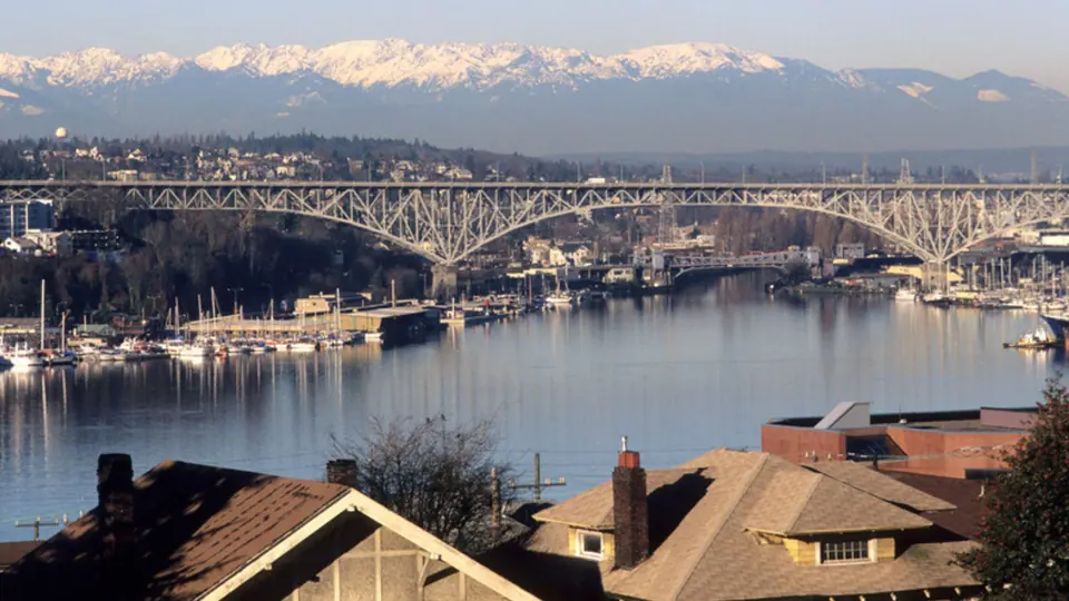
North to south rail lines split the valley, so getting across from east to west has always been the tricky part. Use the Magnolia Bridge over the old tideflats, the West Dravus Street trestle, or the flyover from Nickerson Street near the south end of the Ballard Bridge. An older crossing at Wheeler Street, just south of the golf course, no longer exists.
If you prefer transit, hop on the RapidRide D Line, which has run along 15th Avenue W since 2012. A transit center serving the Expedia office campus opened in 2019, and the planned Link light rail extension to Ballard is set to follow the Interbay corridor.
Walk or bike the waterfront path
Set out on foot or by bike for the easiest way to get to know Interbay. Start from the central waterfront near Belltown and follow the trail north through Myrtle Edwards Park, a slim 4.8-acre ribbon of Elliott Bay shoreline with a 1.25-mile path. Walkers, cyclists and birders all love it here, and the park hosts the annual Seattle Hempfest.
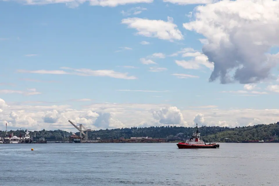
Beyond the park, the route winds around the pier facilities at Smith Cove, then follows the railroad tracks along their west side. It finishes on 20th Avenue W on the Magnolia side, about three blocks south of Dravus. Along the way, you get close-up views of the working port and the rail yard.
Smith Cove
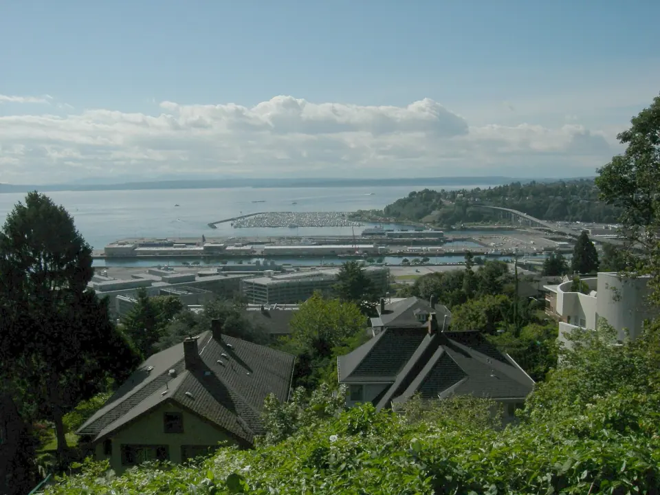
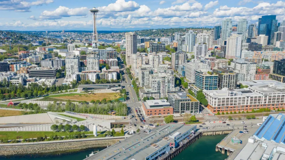
Pause at the south end at Smith Cove park on 23rd Avenue W, a Seattle Parks and Recreation site named for the northern arm of Elliott Bay. Take in the piers here and think about the long story of settlement, railroads, shipping and the Navy that shaped this shoreline.
Green space in an industrial valley
Freight may rule the valley, but Interbay surprises you with a cluster of public land along 15th Avenue W. Several parks and gardens sit within a short walk of one another, so it is easy to string them together into one outing.
Interbay P-Patch
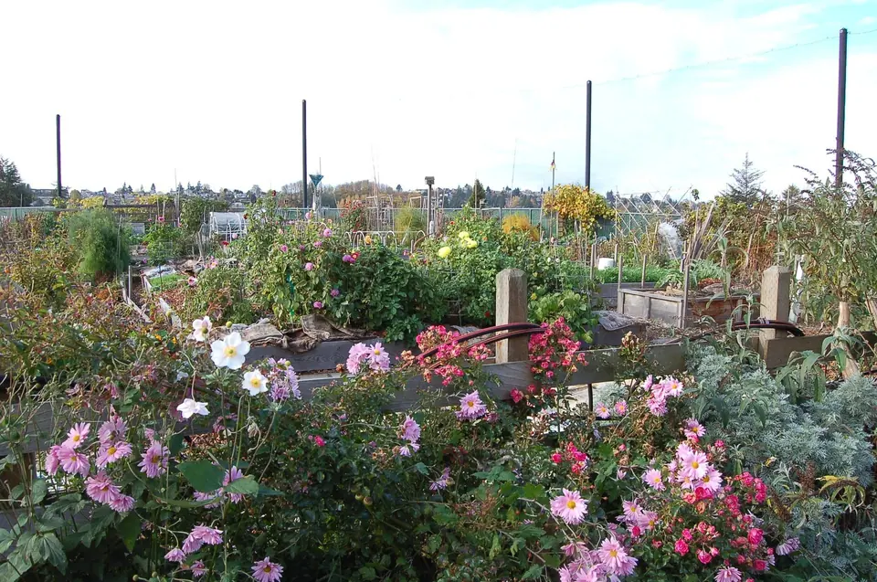
Stroll through the Interbay P-Patch, one of the city's notable community gardens. Run through the City of Seattle P-Patch program, it spreads across about 43,000 square feet at 15th Avenue W and W Wheeler Street, with 132 plots. Neighbors have been growing food on this ground since 1974.
Golf and athletic fields
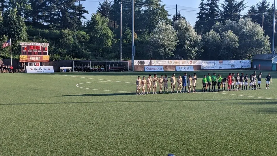
Tee off at Interbay Golf, 2501 15th Avenue W, city park property set in the low ground between Queen Anne and Magnolia. Close by, the Interbay Athletic Complex at 3027 17th Avenue W offers playing fields, and Interbay Stadium is part of the neighborhood too. Check with Seattle Parks and Recreation for current hours, programs and field use before you go.
Nearby viewpoints and greenbelts
City records also list Thorndyke Park, Ursula Judkins Viewpoint, the Magnolia Greenbelt and Magnolia Tidelands Park in the surrounding area. Head toward the Magnolia side to find them, and add one or two to your day when you want a break from the flat valley floor.
The working waterfront today
Much of Interbay belongs to BNSF Railway's Balmer Yard and its locomotive maintenance shops. At the north end, the Port of Seattle's Fishermen's Terminal sits on Salmon Bay, while at the south end the port runs Piers 86, 90 and 91 on Smith Cove.
Drive or walk along 15th Avenue W and you pass a mix of light industry, warehouses, wholesale and retail businesses, a few offices and some housing, along with a Washington Army National Guard armory. When you need a bite or have errands to run, head to the small shopping and dining area on West Dravus Street, the neighborhood's main commercial pocket.
How the valley became Interbay
Glaciers are thought to have carved this valley roughly 14,000 to 17,000 years ago. Look closer at the ground and you find a thin layer of sand across the area, possibly left by a tsunami that followed a Seattle Fault earthquake about 1,000 years ago.
From Boulevard to Interbay
The valley lies within the traditional range of the Duwamish, and several Native place names were recorded near Smith Cove and Salmon Bay. The Denny Party scouted it in 1852 but chose to settle farther south. Later, physician and poet Henry A. Smith acquired much of the land, and Smith Cove still carries his name.
Smith founded a settlement called Boulevard along a street he named Grand Boulevard, known today as West Dravus Street. In 1884 a railway bought most of his holdings and laid tracks through the valley, and a blue-collar village grew up around the stop. Seattle annexed the area in 1891, and by 1894 the post office went by the name Interbay.
Port, industry and the Navy
Under James J. Hill's Great Northern Railway, Smith Cove grew into a major depot and port, and in 1896 it served as the American port for the first regular steamship line linking Asia and the Pacific Coast of North America. Dredging for the ship canal between 1911 and 1916 filled about 150 acres of tideland. On that new ground, the young Port of Seattle built Fishermen's Terminal and the piers now numbered 90 and 91.
Industry followed, from rope and paint makers to a vinegar works, drawing Finnish, Polish, Russian, German, Austrian and Scottish workers to settle here. The Asia trade left after violence during the 1934 Maritime Strike, and one of the city's Hoovervilles stood in the valley during the Depression. From 1941 into the early 1970s, Smith Cove served as a Navy supply depot.
Landmarks to spot
Look up toward the southwest corner of Magnolia for the Admiral's House, a large white home overlooking Piers 90 and 91 that dates from the Navy years; it is privately owned and used as an event space. Near Smith Cove, keep an eye out for five late 19th century houses known as the Fourteenth Avenue West Group, a designated city landmark, and note that the Seattle Post-Intelligencer Globe also appears among the area's listed sites.