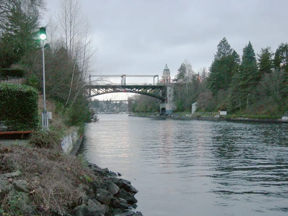
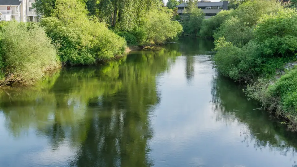
Work on the full canal began in 1911 and was officially completed in 1934. Before then, Lake Washington drained south through the Black River and into the Duwamish River, a very different path from the one boats follow today.
A Crossing Older Than the Canal
As you stand by the water, remember that people hauled boats over land between these lakes for centuries. One crossing point carried a Lushootseed name meaning "carry a canoe," a reminder that this short neck of land served as a travel route long before anyone started digging.
Early digs at Montlake
In 1860, landowner Harvey L. Pike set out to dig a ditch at Montlake by hand, armed with a pick and shovel. He hoped to move logs between Portage Bay and Union Bay and raise the value of his land while he was at it.
Pike eventually gave up, and in 1871 he joined Thomas Burke and Daniel Gilman to form the Lake Washington Canal Company. Instead of finishing the channel, the company built a tramway to carry coal that arrived by barge across the lake.
In 1883, David Denny and Burke hired a crew of Chinese laborers to complete a canal at Montlake. Their work produced a 16-foot channel with a lock that could float logs from Lake Washington down to Lake Union.
How the lake got its level
Engineer Hiram M. Chittenden championed a single set of concrete locks at the western end of Salmon Bay. His plan lowered Lake Washington to the level of Lake Union, cutting both flood risk and overall cost. That choice shaped the very water you see flowing through the Cut today.
Watching the Boats and the Montlake Bridge
Spend some time at the Cut and you will see Seattle's working waterway in action. A handful of rules govern the traffic, and knowing them makes every passing boat easier to follow.
- Speed: boats on the canal keep to 7 knots.
- Traffic signals: signals stand about 1,000 feet on each side of the Montlake Bridge. Vessels of 300 tons or more, along with any boat with a tow, may not pass a red signal.
- Requesting an opening: skippers can call a bridge on channel 13, or sound one long horn blast of at least four seconds followed by a short one.
- The reply: a matching signal from the bridge means the request was heard and the bridge will open in time. Five short blasts mean it will not open.
Bridges can hold boats for up to ten minutes before opening, and longer at certain times of day. If you are waiting on shore to catch a lift, a little patience usually pays off. Keep an eye out, too, for boats that cannot move under their own power, since they must be towed past the bridge.
Parks Along Both Shores
West Montlake Park
Head to West Montlake Park, where Portage Bay meets the Cut. It is small but made for boat watching, with a fishing pier, an observation deck and a trail that slips beneath the Montlake Bridge.
East Montlake Park
Across on the Union Bay side, East Montlake Park is known for a Haida totem pole dating to 1937 and a trail along the water. It has been closed since 2019 for SR 520 bridge replacement work, so check with Seattle Parks and Recreation before you plan around it.
Seattle Yacht Club
Just a few steps from West Montlake Park stands the Seattle Yacht Club, both an active club and an official City of Seattle landmark. Its spot right at the mouth of the Cut ties it closely to the boating life of the channel.
Stretching Your Walk Through Montlake
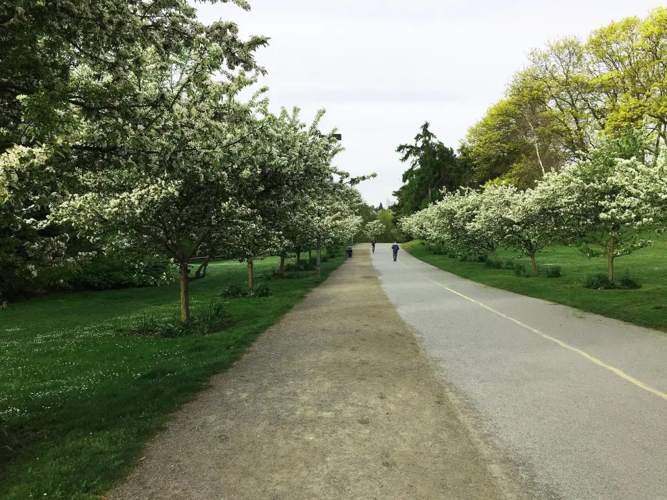
Keep going and the neighborhood around the Cut rewards a longer stroll. Montlake Playfield spreads across 27 acres on Portage Bay, built on a former peat bog and dahlia farm and dedicated in 1935.
Right next to the playfield, the Montlake Community Center at 1618 E Calhoun St holds the title of City of Seattle Landmark No. 281. Several other landmarks lie within a short walk.
For a greener route, wander into Interlaken Park, which covers 51.7 acres of wooded hillside and ravine between Capitol Hill and Montlake. Part of its boulevard is closed to cars, making it a pleasant place to explore on foot. Round things out at the Montlake Branch library on 24th Ave E, opened in 2006, where a sundial is built into the skylight and an easy stop awaits.